Lot 351
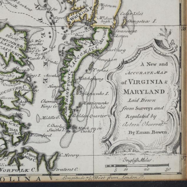
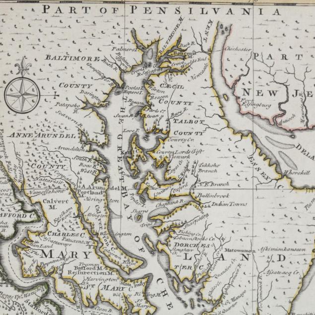
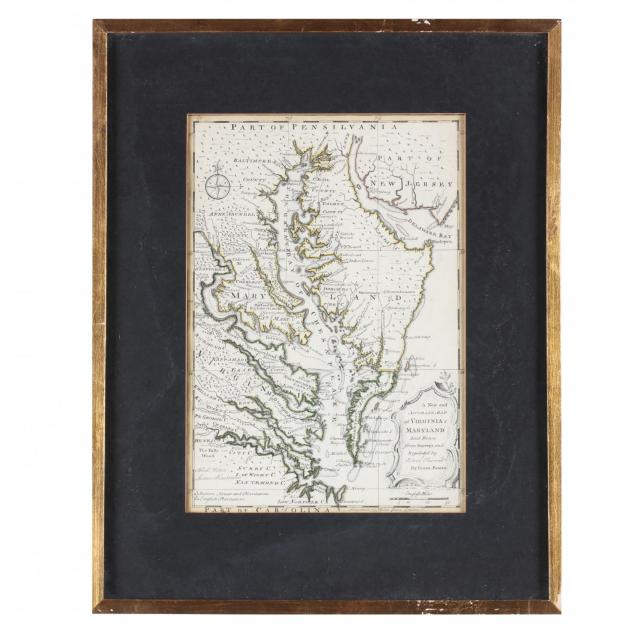
Emanuel Bowen Map of the Chesapeake Bay Region
Explore more items like this one.
Visit our Historical Department Historical
Lot Details & Additional Photographs
Sheet 16.5 x 9.75 in.; Plate 12 7/8 a 9 in.; DOA in frame 19 x 15.25 in.
From the collection of the late Brien E. Kehoe, Washington, D.C.
Light browning to sheet's upper and lower margins, else clean. Losses to frame's gilt.
$300 - 600