Lot 152
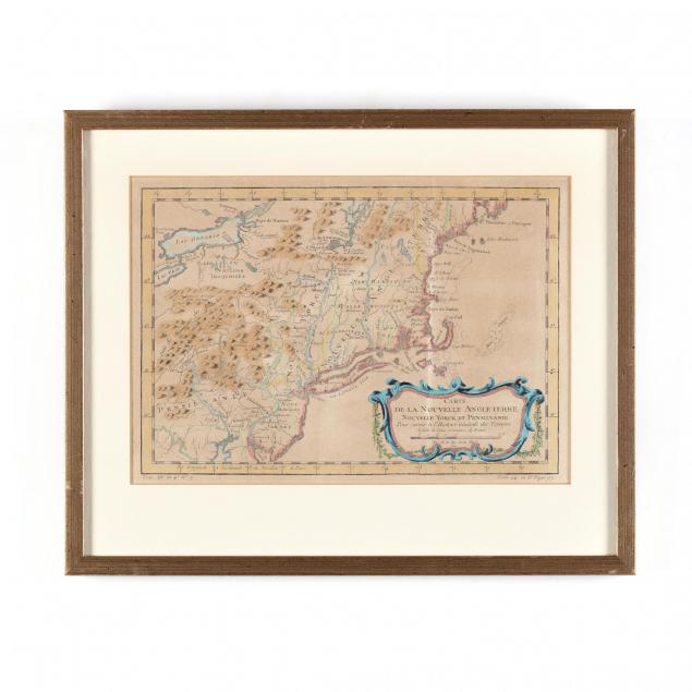
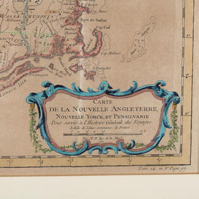
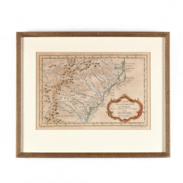
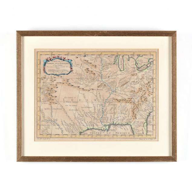
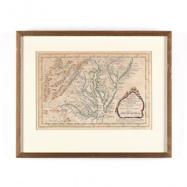
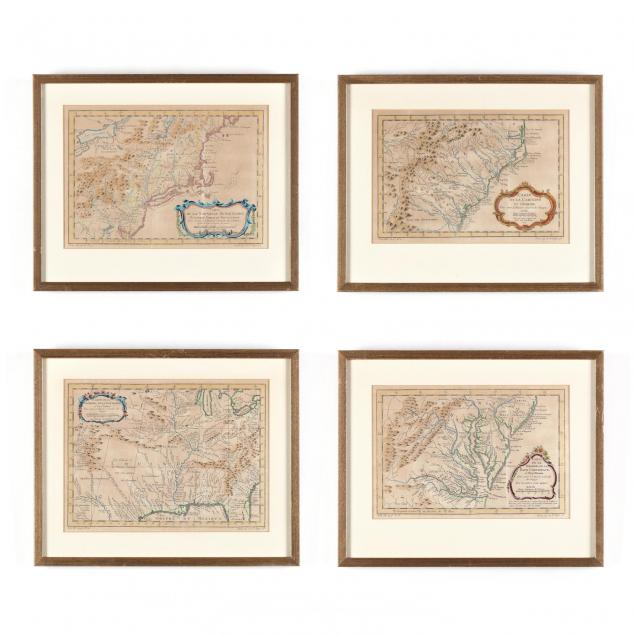
Four Late 18th Century Regional Maps of North America After Jacques Bellin
Explore more items like this one.
Visit our Historical Department Historical
Lot Details & Additional Photographs
DOA 13 x 16 in.
Collection of Mr. and Mrs. Ray Henderson, New Bern, North Carolina
The Carolinas map examined out of the frame, not laid down, though mounted by edges with masking tape; even light brown age toning.