Lot 99
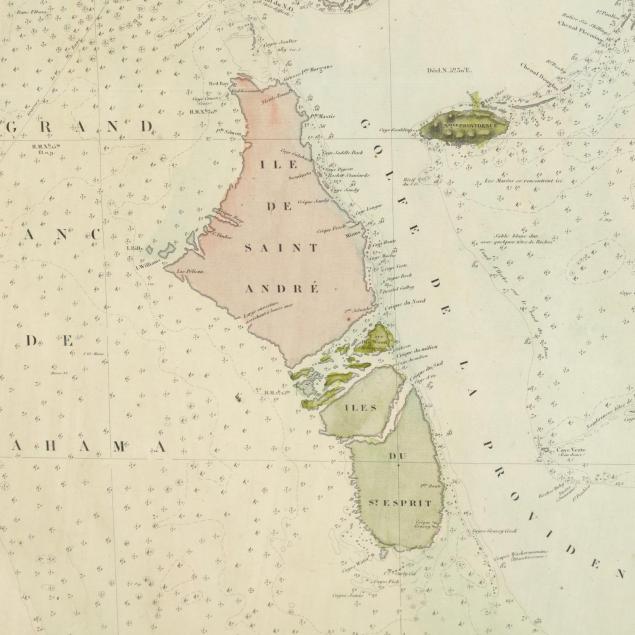
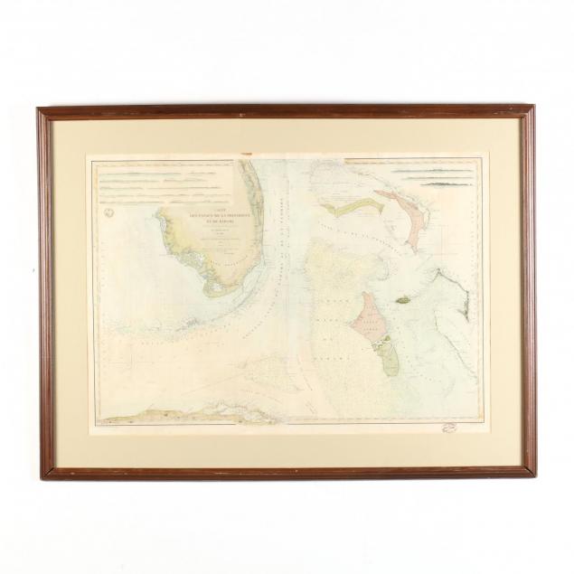
19th Century French Sea Chart of the Bahamas and Adjacent Areas
Explore more items like this one.
Visit our Historical Department Historical
Lot Details & Additional Photographs
DOA 35 x 46 in.
The Estate of William Lee Pritchard, M.D., Charlotte, NC
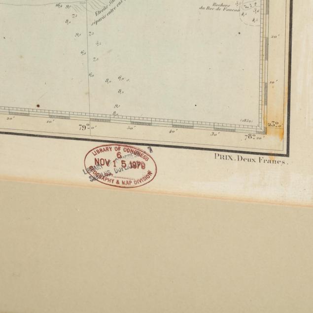
Small stain to upper margin; fold creases; overall very good condition.