Lot 102
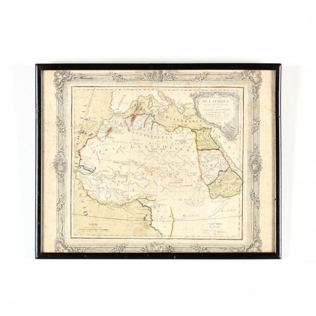
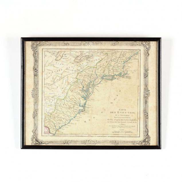
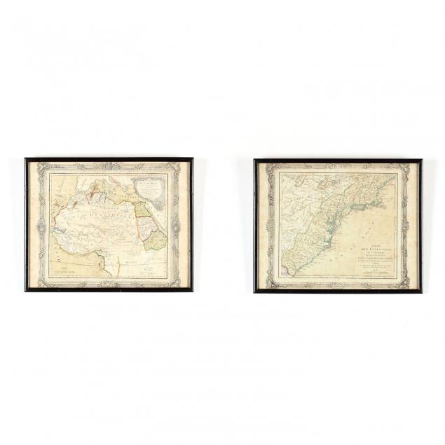
18th Century French Maps of the United States and Africa
Explore more items like this one.
Visit our Historical Department Historical
Lot Details & Additional Photographs
DOA 11.5 x 14.5 in.
From the Collection of Colette Gaudron, Southeast Asia & Chapel Hill, NC
Both maps wih moderate foxing throughout; not examined out of the frames.