Lot 98
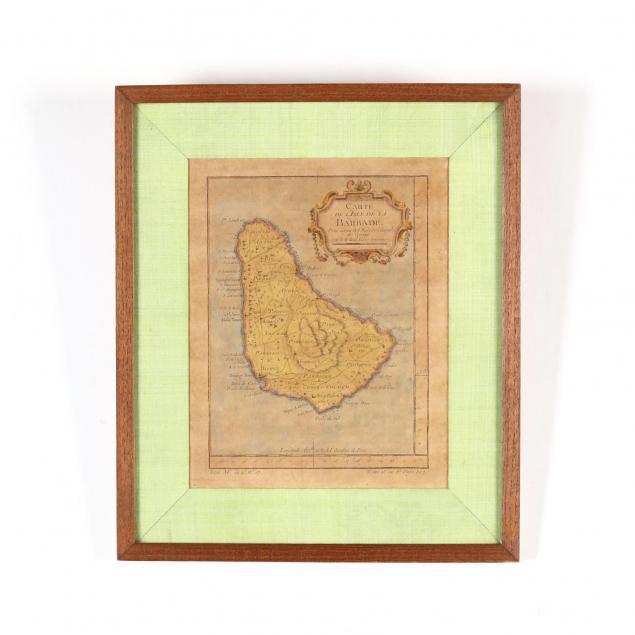
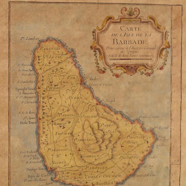
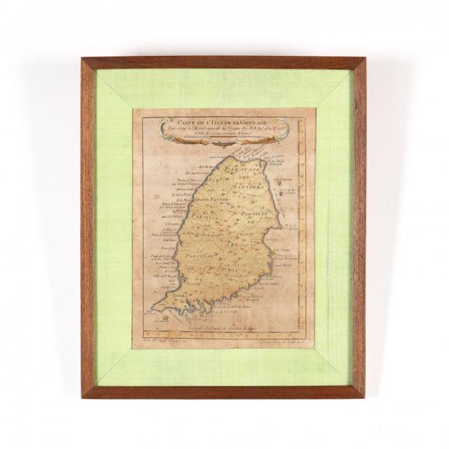
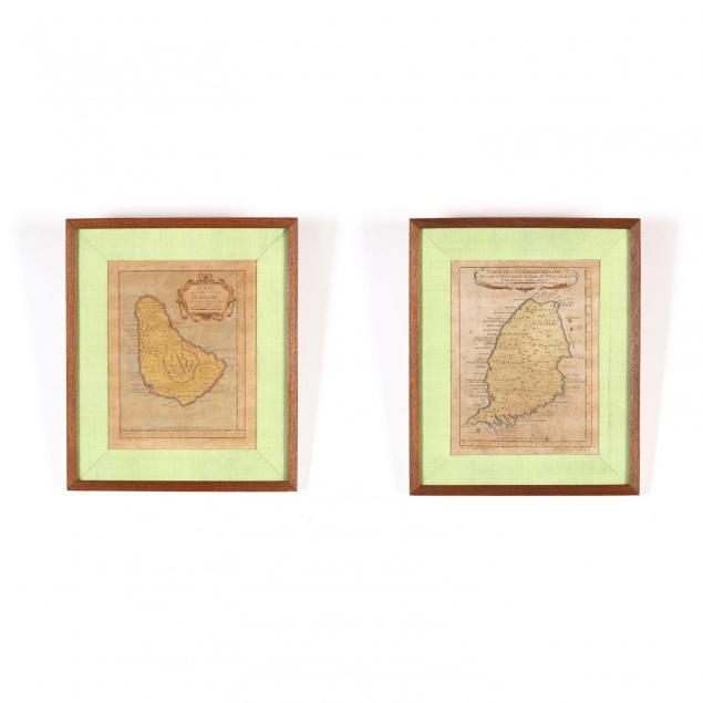
Two 18th Century French Caribbean Island Maps
Explore more items like this one.
Visit our Historical Department Historical
Lot Details & Additional Photographs
DOA 13 x 10.75 in.
From the Collection of Colette Gaudron, Southeast Asia & Chapel Hill, NC
Both maps with age toning and light foxing; not examined out of the frame.