Lot 1004
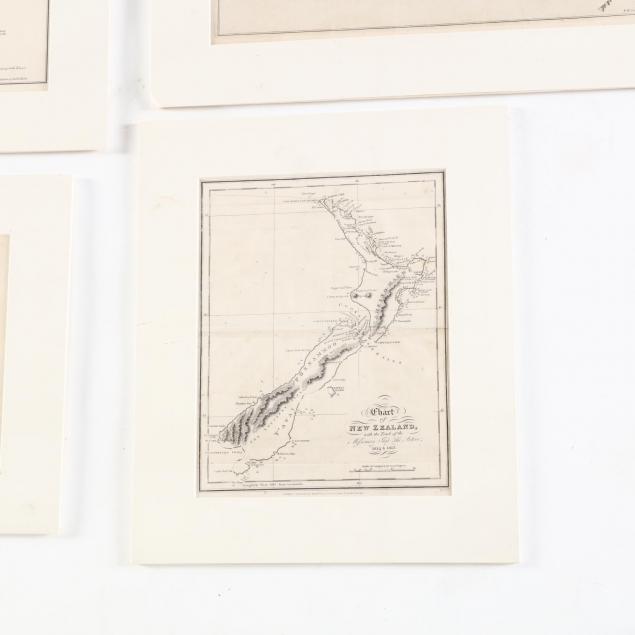
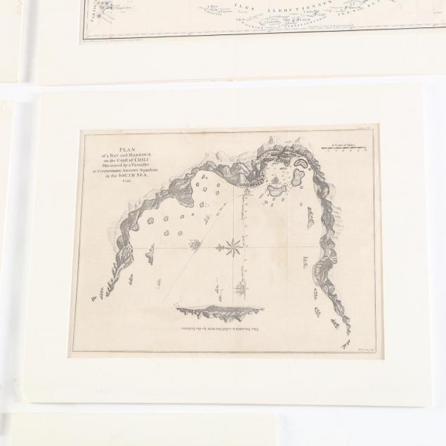
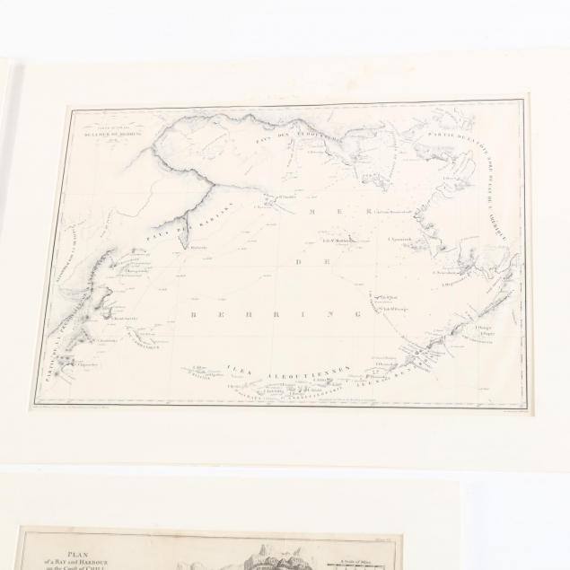
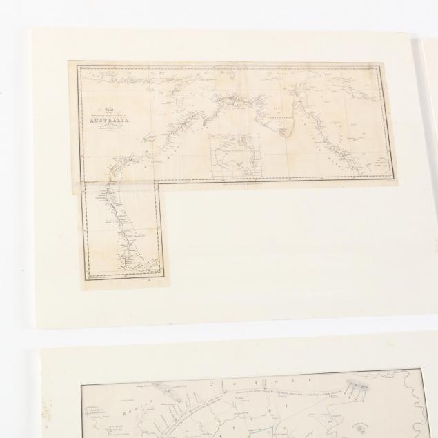
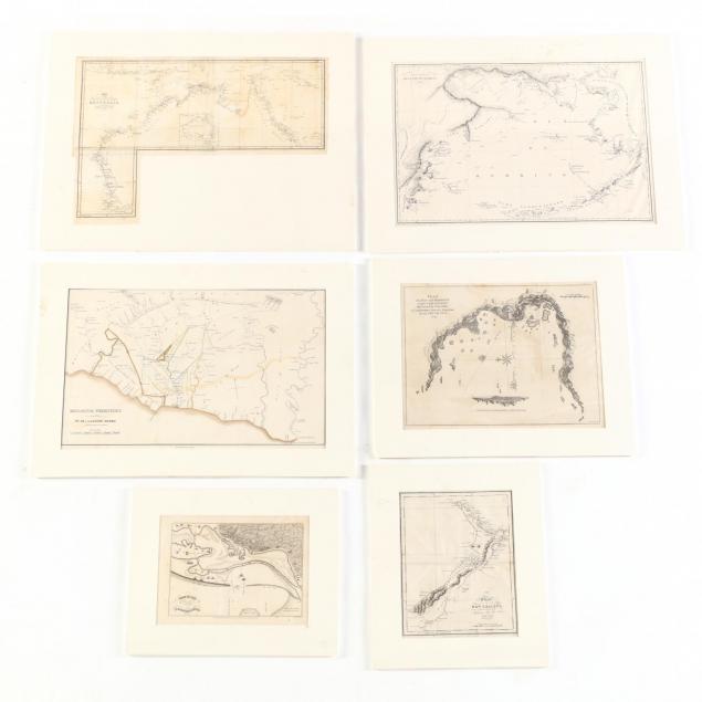
Six 18th and Early 19th Century Nautical Maps
Explore more items like this one.
Visit our Historical Department Historical
Lot Details & Additional Photographs
(1817); Chart of the Intertropical & West Coasts of Australia (1825); De Lamer De Behring (1828); Malacca territory (no date visible, possibly under mat)
Largest DOA 17.5 x 22.75 in.
The Lifelong Collection of Keith and Caroline Gray, Charlotte, NC. Keith and Caroline Gray were passionate about antiques, art, and history. Together they attended antique shows and auctions for decades – assembling a collection particularly strong on American coin silver, Asian art, historical documents, early images, and English ceramics. Both were longtime supporters of the Mint Museum in Charlotte, with Caroline serving in multiple capacities from docent to a member of the acquisitions board and trustee. Caroline translated her love of material culture into a successful career, becoming a certified property appraiser in Charlotte.
Some light stains; not examined loose, but very good appearance.