Lot 1018
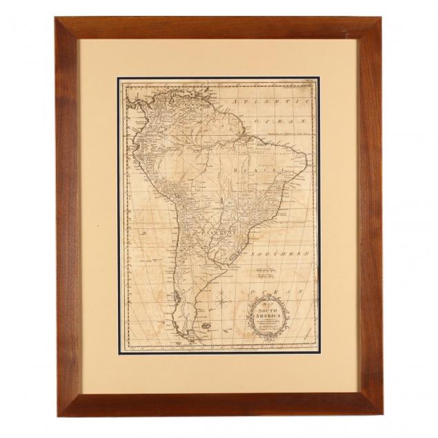
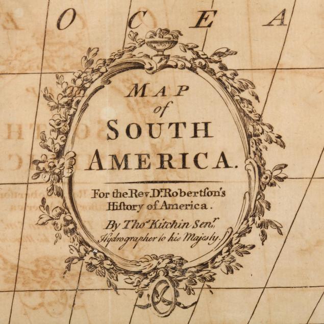
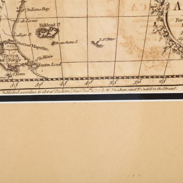
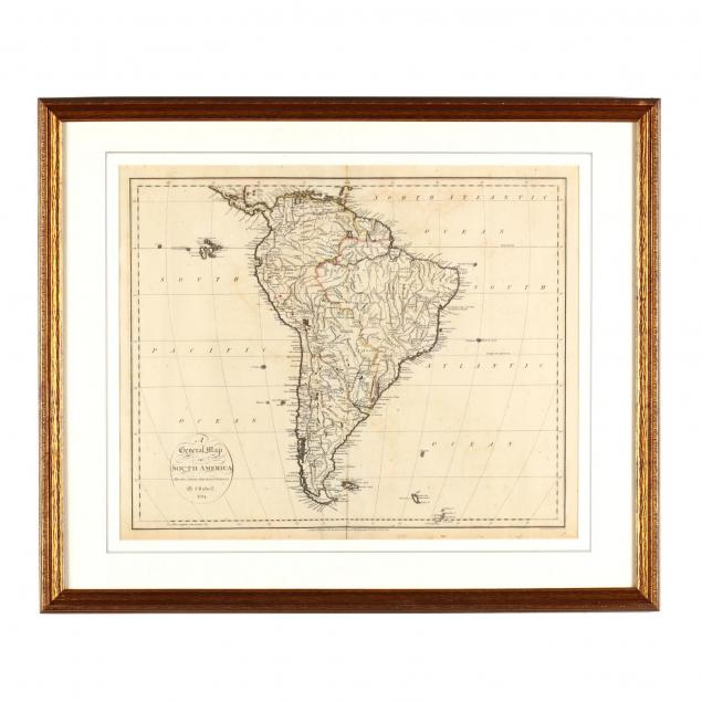
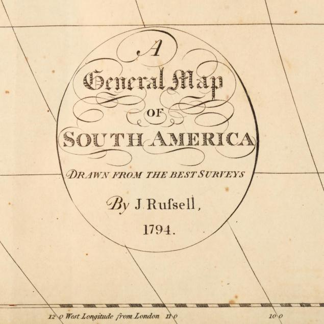
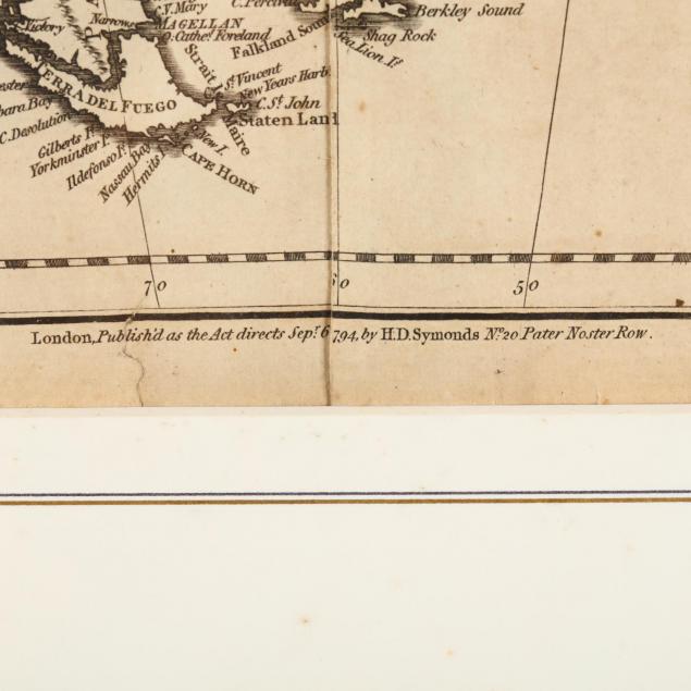
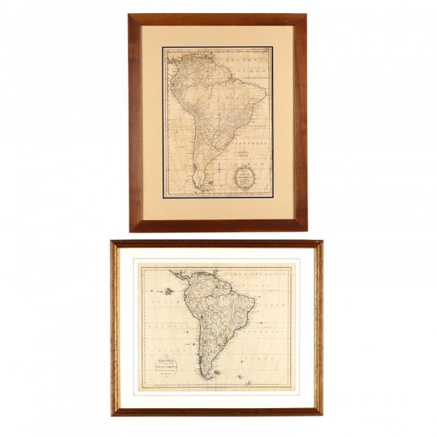
Two 18th Century English Maps of South America
Explore more items like this one.
Visit our Historical Department Historical
Lot Details & Additional Photographs
The Lifelong Collection of Keith and Caroline Gray, Charlotte, NC. Keith and Caroline Gray were passionate about antiques, art, and history. Together they attended antique shows and auctions for decades – assembling a collection particularly strong on American coin silver, Asian art, historical documents, early images, and English ceramics. Both were longtime supporters of the Mint Museum in Charlotte, with Caroline serving in multiple capacities from docent to a member of the acquisitions board and trustee. Caroline translated her love of material culture into a successful career, becoming a certified property appraiser in Charlotte.