cook-james-i-chart-of-the-sandwich-islands-i
Lot 113
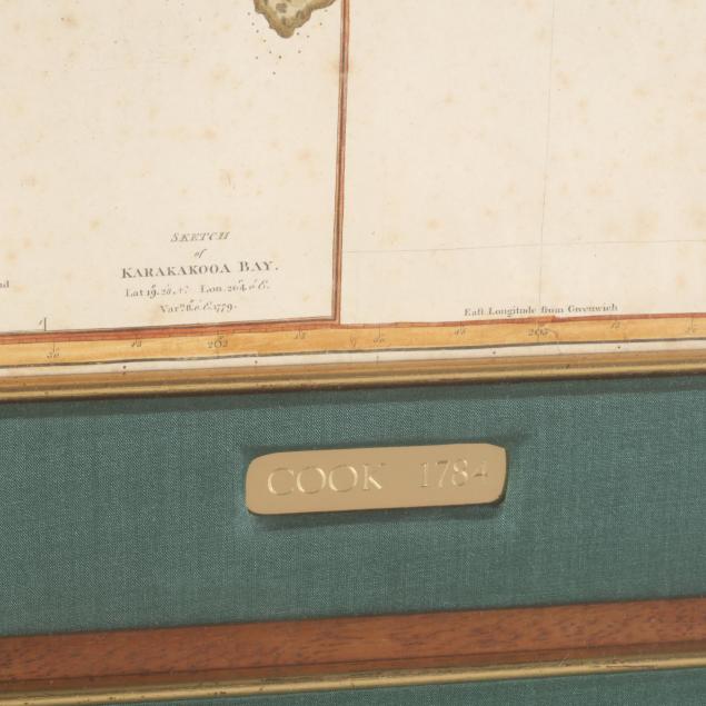
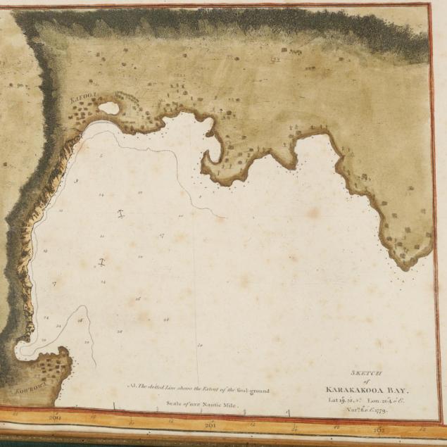
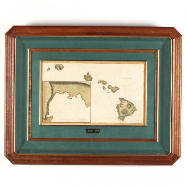
Cook, James. Chart of the Sandwich Islands
Lot Details & Additional Photographs
(London: Nicol & Cadel, 1784-85), copperplate engraving showing the Hawaiian Islands with a detailed inset of Karakakooa Bay, site of Captain Cook's demise. Cook and Lieutenant Henry Roberts are officially credited with drafting this first map of Hawaii, however the young William Bligh of H.M.S. Bounty notoriety made credible claims to authorship as well. Presented in gilt and walnut frame with green linen mat as sold by Lahaina Printsellers, Ltd. of Maui, Hawaii. The firm's COA is on the back of the frame.

DOA 24 x 31 in.

Some light foxing throughout; retains good color. The map is secured along the edges between the mat on top and a backing. It is not laid down and comes with explicit instructions for removal if so desired.