Lot 441
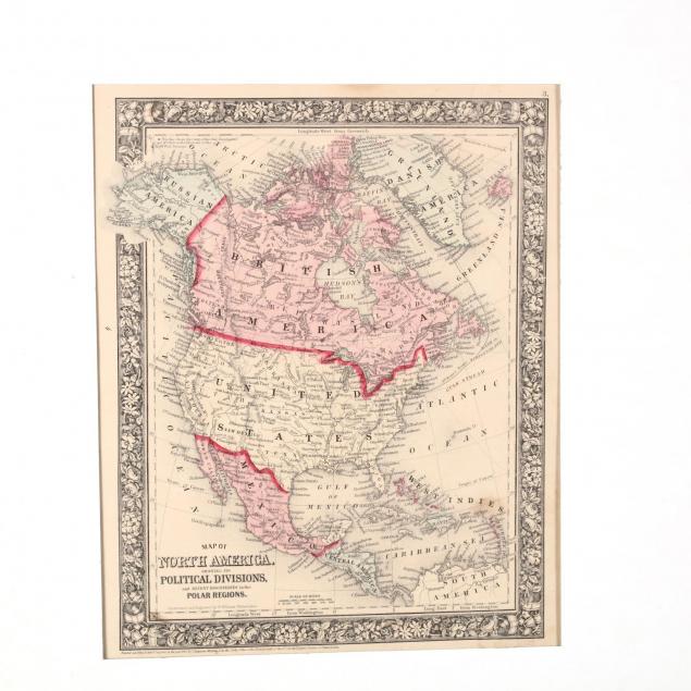
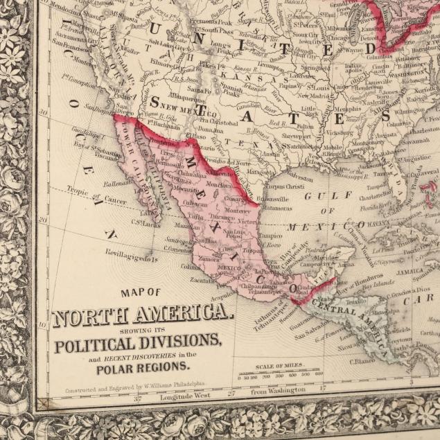
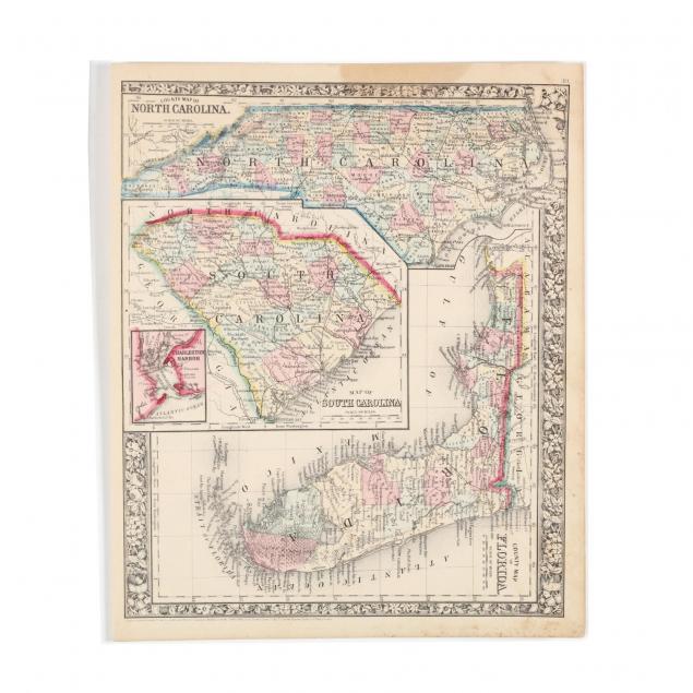
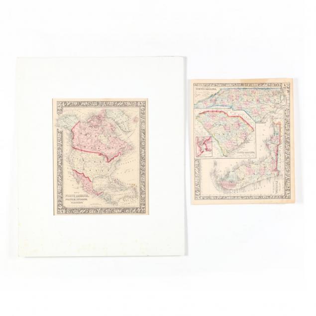
Two Civil War Era Mitchell Maps
Explore more items like this one.
Visit our Historical Department Historical
Lot Details & Additional Photographs
15.25 x 12.25 in.
Collection of Mr. & Mrs. Steve Dent, Jacksonville, FL
Light foxing, else very good.