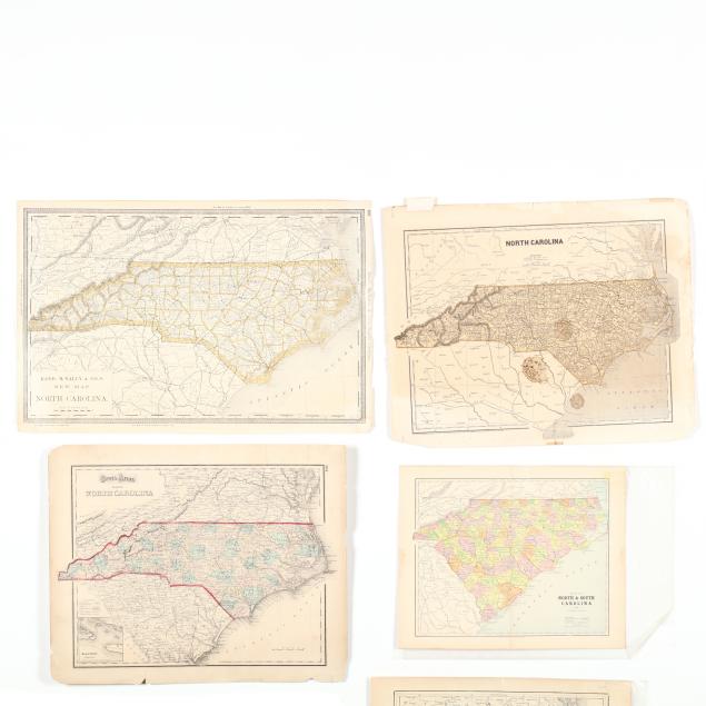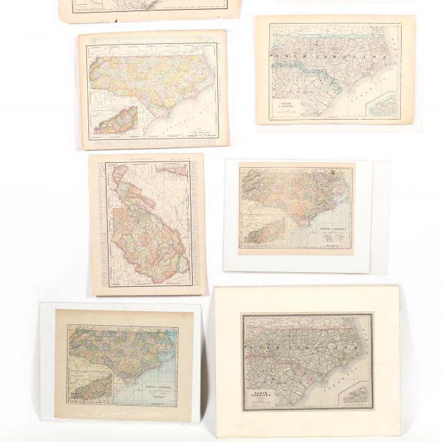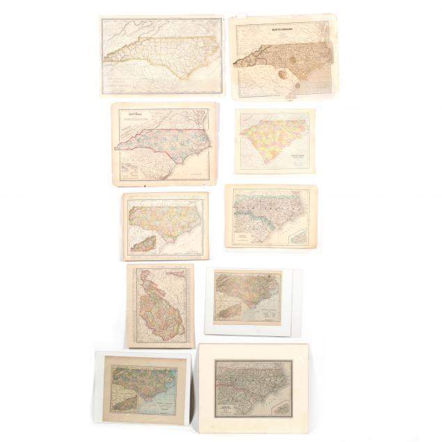
Lot 380
Ten Antique Maps of North Carolina
Explore more items like this one.
Visit our Historical Department Historical
Lot Details & Additional Photographs
Largest 13.5 x 20.75 in.
Typically with marginal splits and light browning; fair to good condition.