Lot 1235
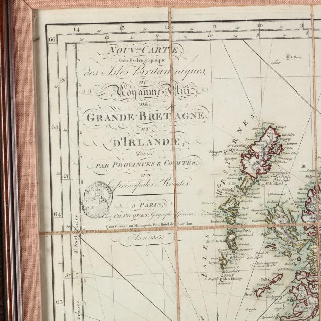
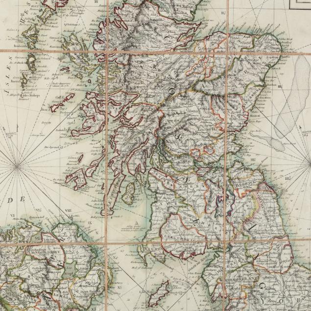
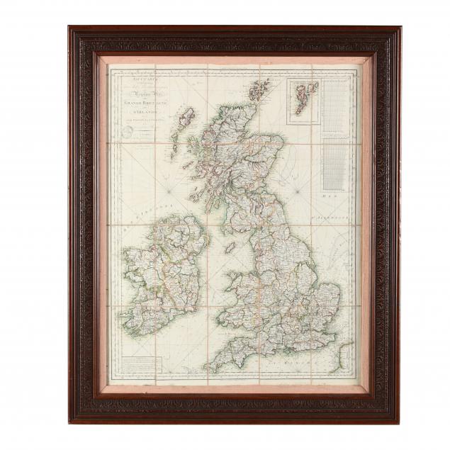
Very Rare Early French Republican Map of Great Britain and Ireland
Explore more items like this one.
Visit our Historical Department Historical
Lot Details & Additional Photographs
DOA 35 x 29 in.
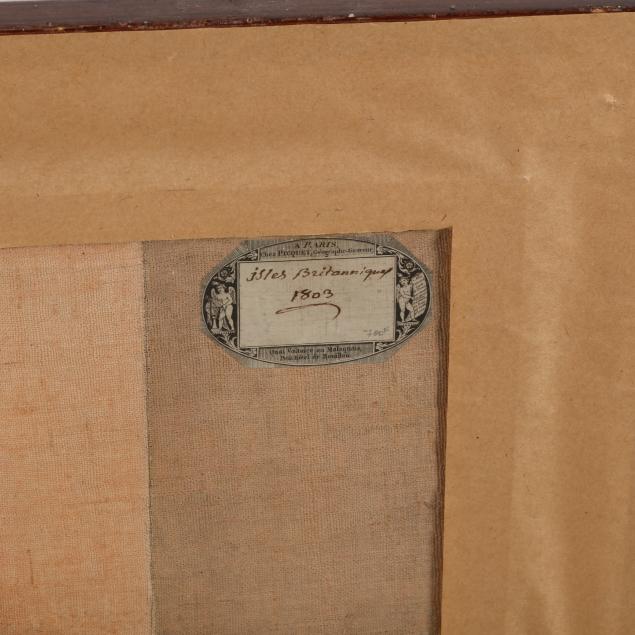
The Estate of the late Rushton W. Hays, St. Augustine, FL
This traveling map was published at the onset of the Napoleonic wars and would have certainly been useful to French strategists on both land and sea.
Fine appearance; not examined out of the frame.
$500 - 1,000