Lot 1229
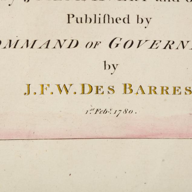
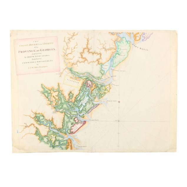
Des Barres, J. F. W. The Coast, Rivers and Inlets of the Province of Georgia
Explore more items like this one.
Visit our Historical Department Historical
Lot Details & Additional Photographs
Plate 22 x 28 in.; Sheet 22.75 x 30.5 in.
From a private North Carolina collection
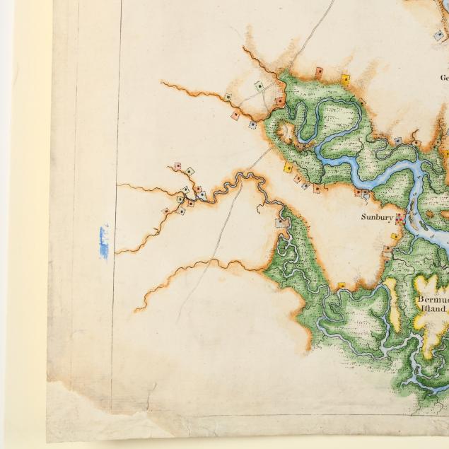
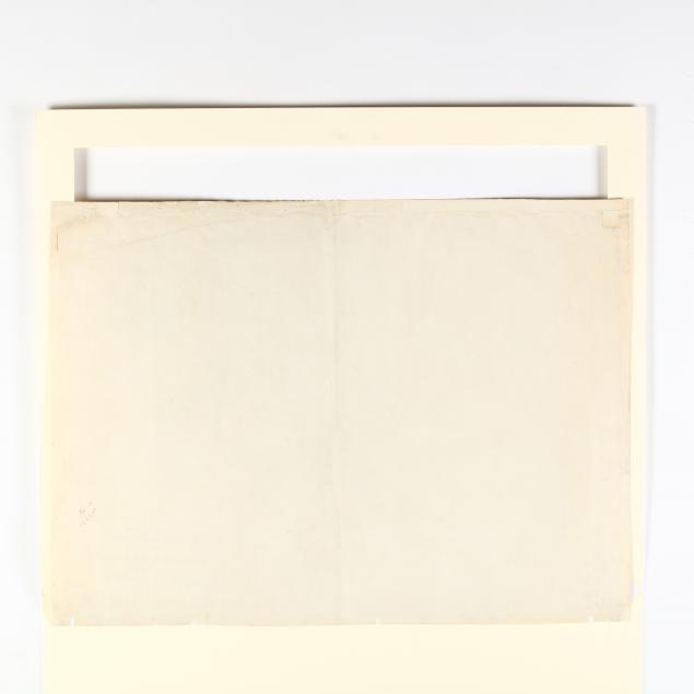
Restoration to corners and some marginal areas; light soiling, else fine condition.
$1,000 - 2,000