Lot Details & Additional Photographs
As follows:
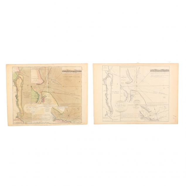
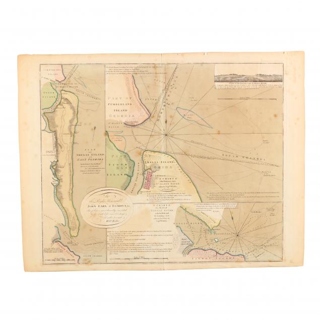
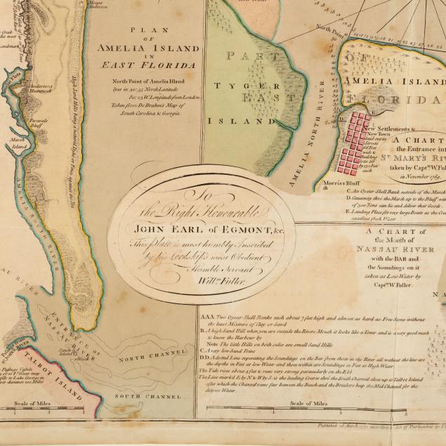
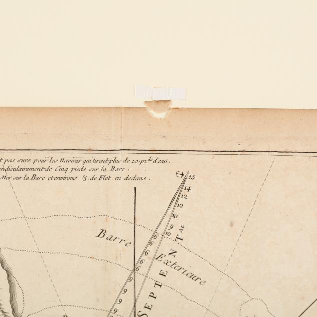
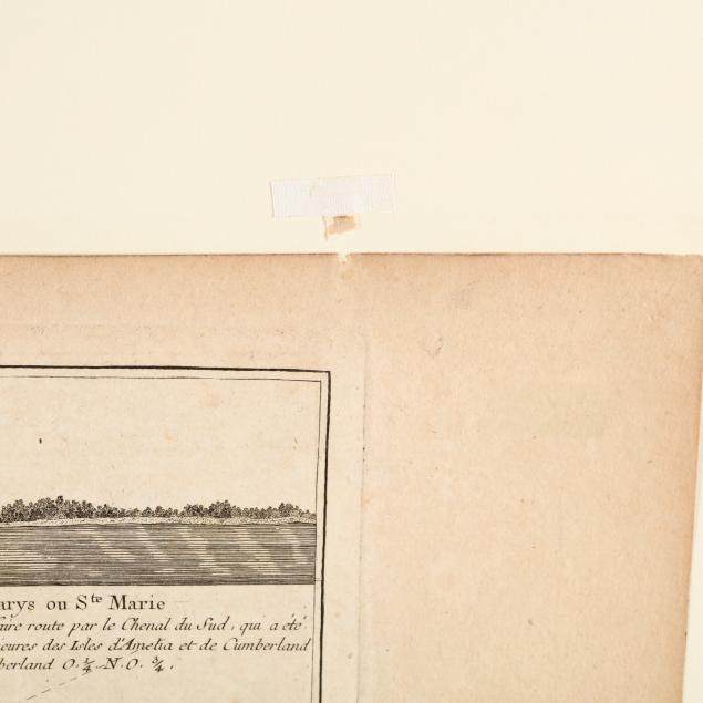
A Plan of Amelia Island in East Florida, A Chart of the Entrance into St Mary's River, A Chart of the Mouth of Nassau River (London: Thomas Jeffreys, 1770), copperplate engraving with outline color (Plate 20.25 x 24.75 in.; Sheet 21 7/8 x 28.5 in.) (Light age toning with some scattered foxing, else fine condition.);
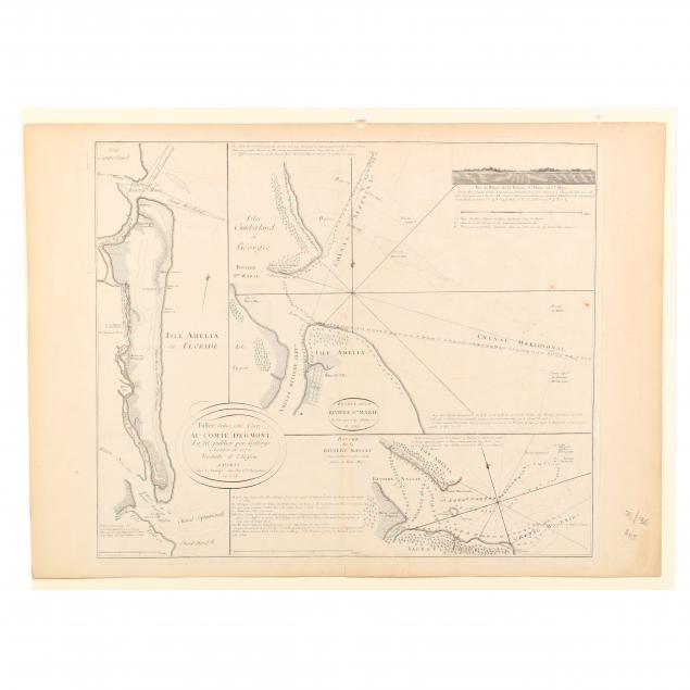
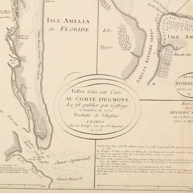
Isle Amelia en Floride, &c. (Paris: Chez Le Rouge, 1778), copperplate engraving with no color (Plate 20.5 x 24.25 in.; Sheet 21.75 x 30 in.) (Light, even toning; two small chips along upper edge from mounting, else fine condition). Both maps are unframed behind mats.
From a private North Carolina collection
$600 - 1,200