Lot Details & Additional Photographs
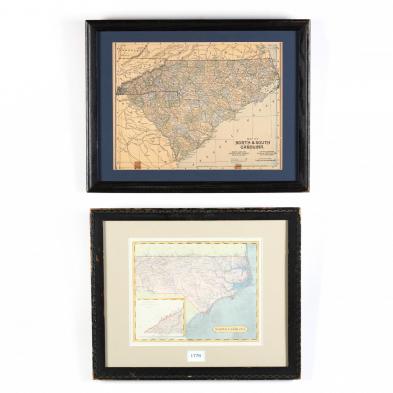
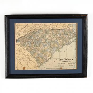
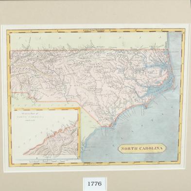
The first a map of North Carolina drawn by Samuel Lewis and Henry Schenk Tanner, circa 1776, hand-colored, matted and framed under glass (DOA 13.5 x 16.25 in.) (rubbing to frame, not examined out of the frame); the second a map of North & South Carolina copyrighted by Mast, Crowell, & Kirkpatrick, matted and framed under glass (DOA 13 3/8 x 17 3/8 in.) (some rubbing to frame, toning to sheet, tape residue at lower edge, not examined out of the frame).
Southern Private Collection