Lot 1363
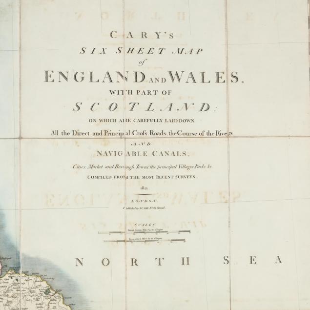
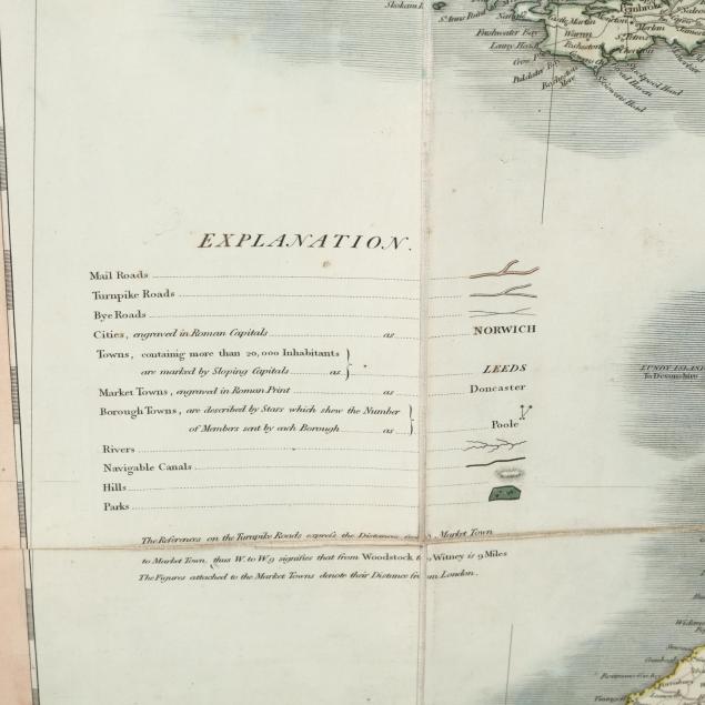
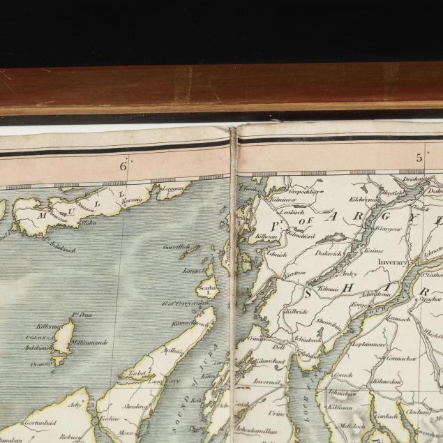
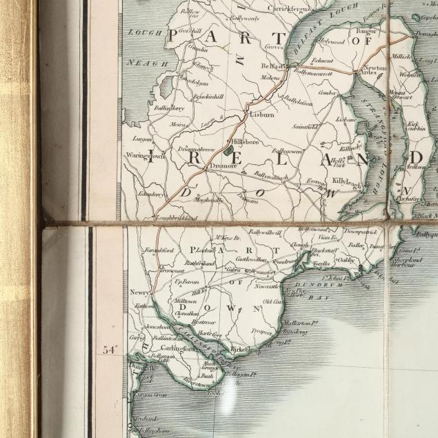
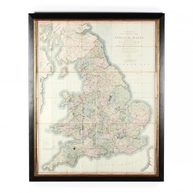
Cary, John. Cary's Six Sheet Map of England and Wales...
Explore more items like this one.
Visit our Historical Department Historical
Lot Details & Additional Photographs
DOA 59 x 47 in.; SS 53 x 42 in.
A very scarce, large and imposing map of late Georgian Britain.
Overall age toning as expected; some sections with edges lifting from the fabric; a quarter-sized ink stain in Devon. Good estate condition.
$800 - 1,200