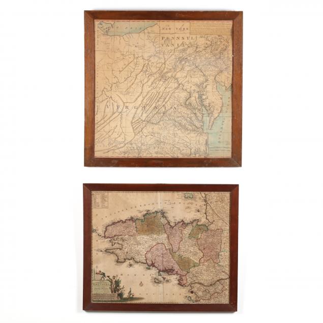
Lot Details & Additional Photographs
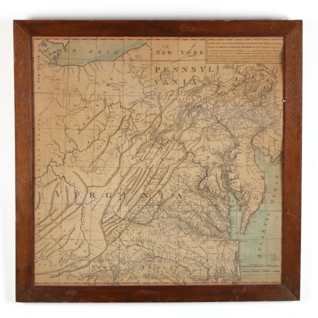
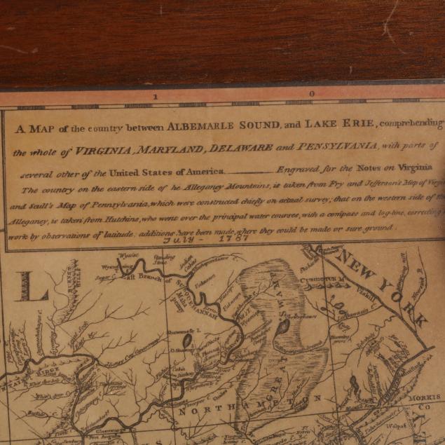
As follows: circa 1900 reprint of
A Map of the Country Between Albemarle Sound and Lake Erie..., from Thomas Jefferson's 1787
Notes on the State of Virginia, the sheet laid to a 1902 edition of
The Times newspaper (Richmond, Virginia), presented in a wooden frame (26 x 26.5 in.) (age toning); plus
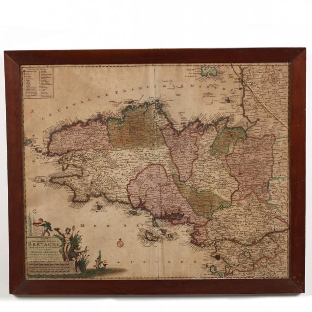
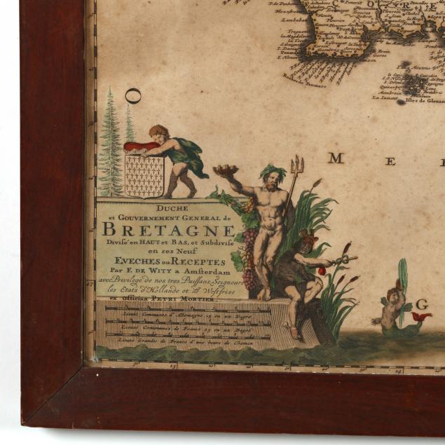
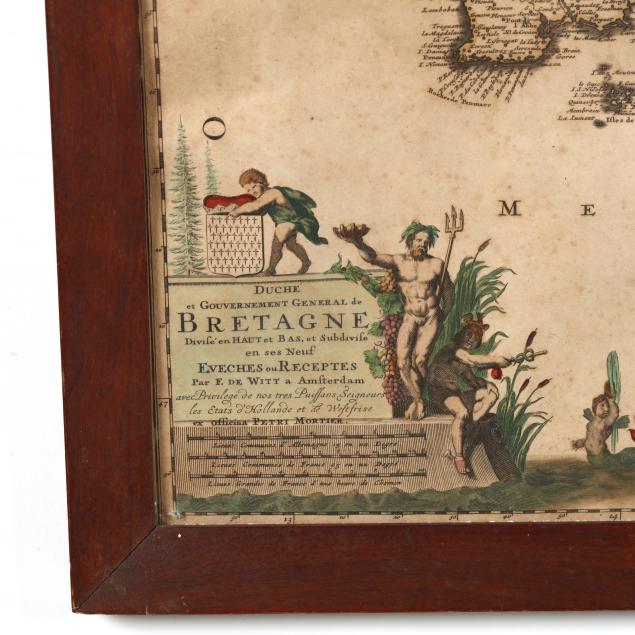
Bretagne, depicting Brittany as engraved by Peter Mortier after Frederik de Wit, copperplate with outline color, early 18th century, from atlas with blank back, presented in wooden frame (21.5 x 26 in.) (glass fractured in upper right corner; moderate foxing; overall toning, central fold).