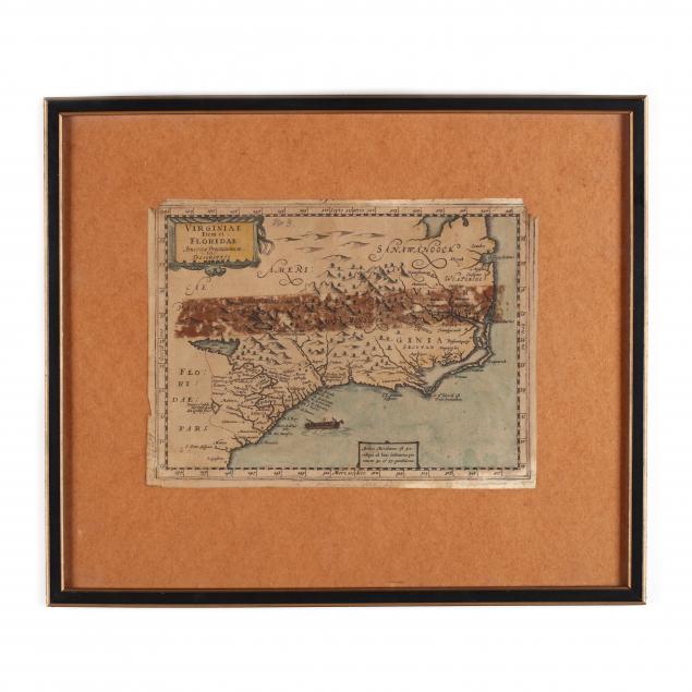
Lot 122
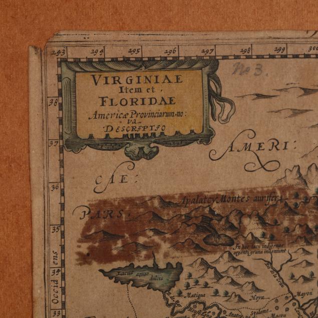
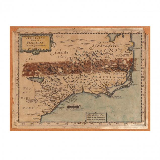
Johannes Cloppenburg 17th Century Map of the Southeastern Coast
Explore more items like this one.
Visit our Historical Department Historical
Lot Details & Additional Photographs
Sheet 7.75 x 10.5 in.; DOA 13.75 x 16.25 in.
Trimmed margins; overall age toning; some edge losses; large horizontal brown stain through map's center.