three-english-shire-maps-and-one-french-city-plat
Lot 58
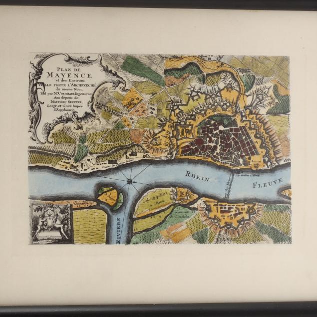
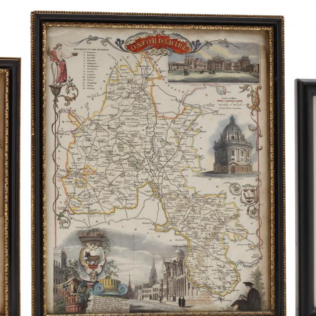
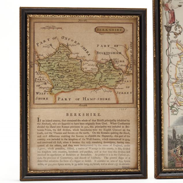
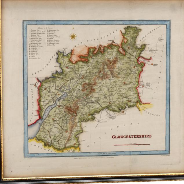
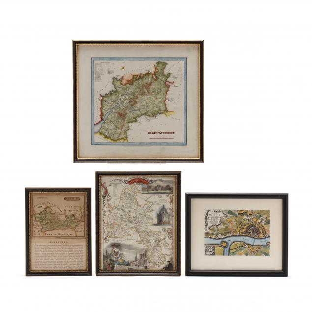
Three English Shire Maps and One French City Plat
Lot Details & Additional Photographs
The English maps in conforming wooden frames with gilt edges, to include: Berkshire, late 18th century; Gloucestershire, first half 19th century; Oxfordshire, mid-19th century;the French plat, Plan de Mayence is a modern reproduction presented in a plain black wooden frame.

Largest 13 x 14 in.

Good estate condition.