Lot 3089
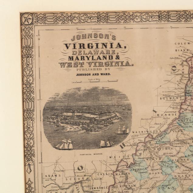
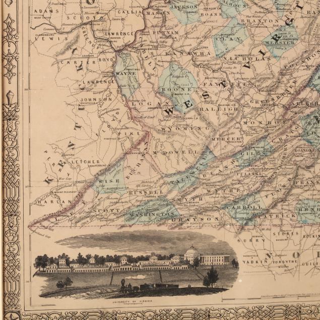
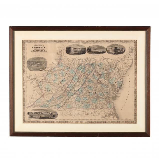
Civil War Era Map, Johnson's Virginia, Delaware, Maryland & West Virginia
Explore more items like this one.
Visit our Historical Department Historical
Lot Details & Additional Photographs
DOA 22.5 x 28.75 in.
Private Collection, Rome, GA
Overall age toning; not examined out of the frame.