Lot Details & Additional Photographs
To include:
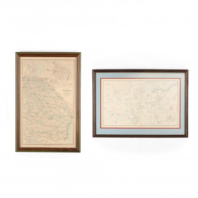
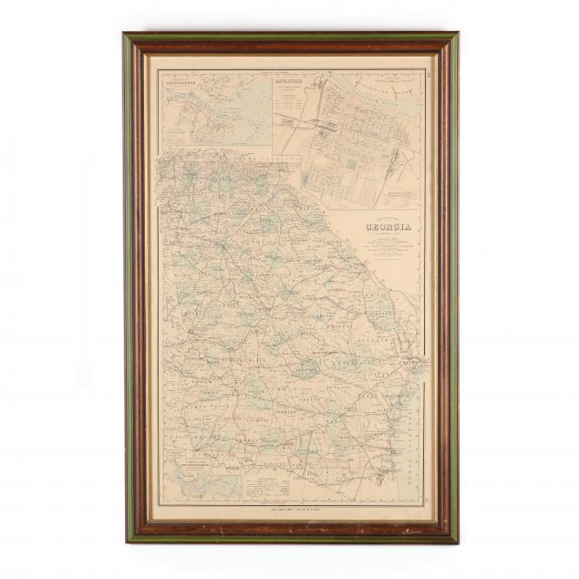
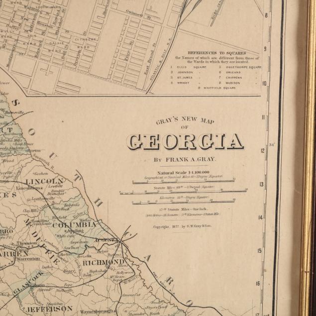
Gray's New Map of Georgia (Philadelphia: O. W. Gray, 1877), steel engraving with color, inset maps showing the city of Savannah, entrance to Savannah River and Brunswick Harbor. Presented in wooden frame (DOA 30.75 x 20 in.); Plate LXI from the
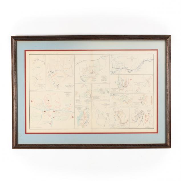
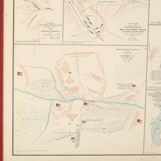
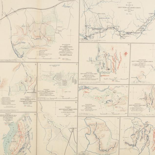
Official Records of the Union and Confederate Armies, 1861-1865 (Washington: Government Printing Office, 1891-1895), showing numerous color-coded maps showing to the 1864 troop movements in North Georgia as well as the 1861 Battle of Bethel, Virginia. Presented in wooden frame (25 x 35.25 in.).
Private Collection, Rome, GA Light age toning to both maps.