hand-drawn-civil-war-map-of-james-river-military-positions-below-richmond
Lot 3082
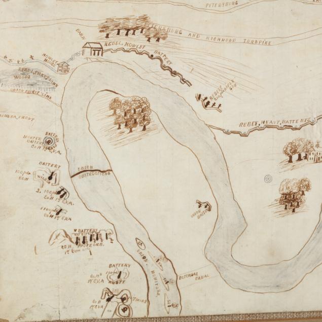
Hand-Drawn Civil War Map of James River Military Positions Below Richmond
Lot Details & Additional Photographs
Circa 1865, a ruled sheet of Congressional notebook paper, embossed with a view of the then-incomplete U.S. Capitol, hosts a pencil and ink depiction of Confederate defenses and Union positions along the James River. Below representations of the "Petersburg and Richmond Turnpike" and "Petersburg and Richmond Rail Road" are shown Fort Darling ("Drewry's Bluff"), Confederate batteries, picket lines, river obstructions, "Union Monitors" and "Rebel Rams." Presented behind glass in a wooden frame.

Sheet 12.75 x 8 in.; DOA 15.25 x 20 in.

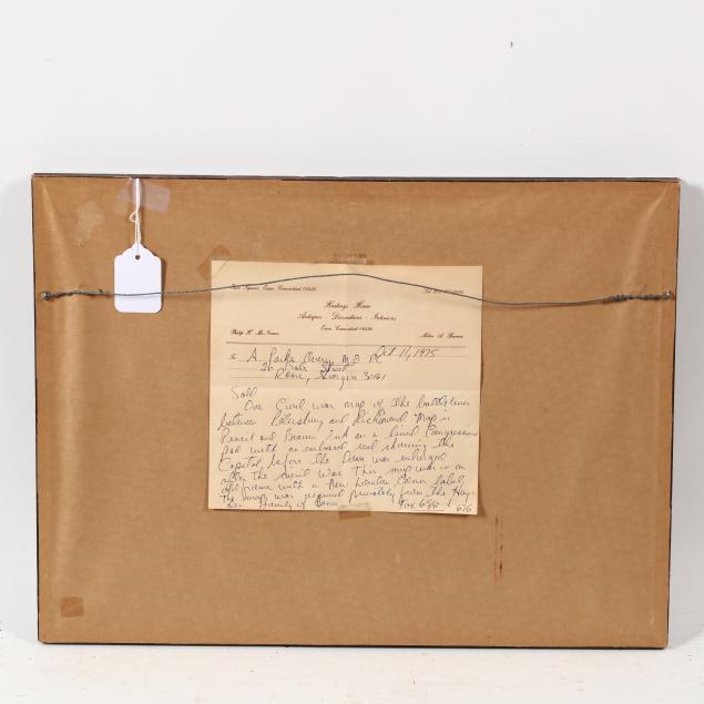
Private Collection, Rome, GA

The sheet is laid to cardboard for stability; overall light age toning; minor stains, else very good condition.