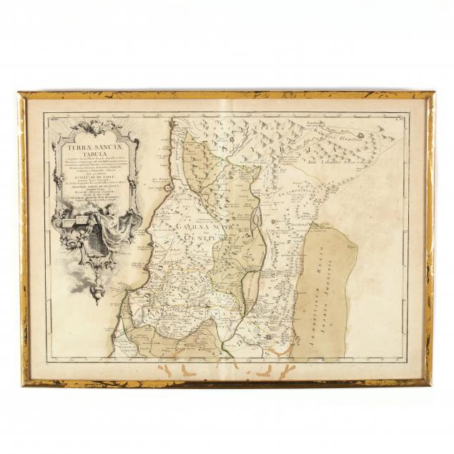
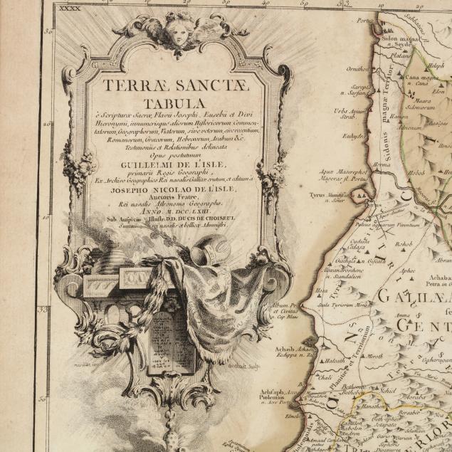
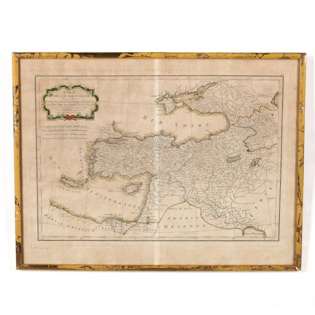
two-antique-french-maps-depicting-near-eastern-lands
Lot 175
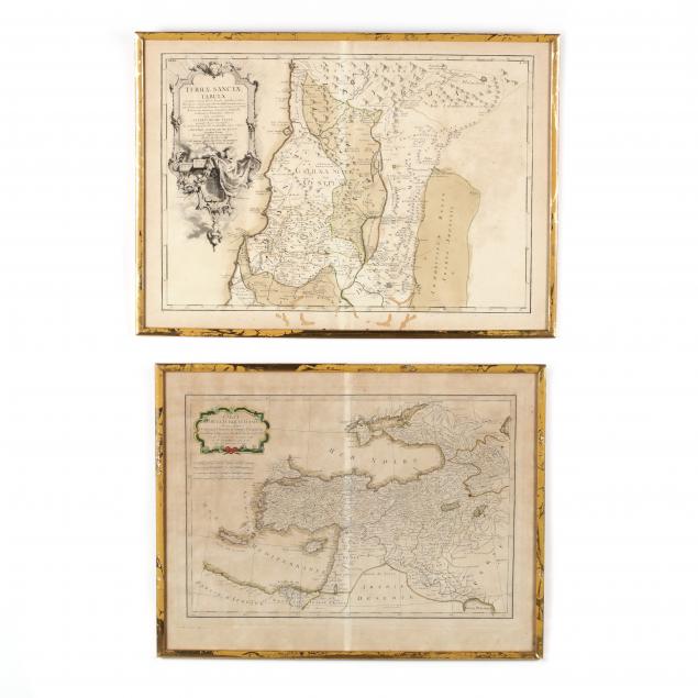
Two Antique French Maps Depicting Near Eastern Lands
Lot Details & Additional Photographs
As follows: Terrae Sanctae Tabuls (Paris: Joseph De L'Isle, 1763), copperplate engraving with outline color, after the writings of Flavius Josephus, depicting the Galilee region of Israel (plate impression 13.75 x 19 3/8 in.) ; Carte De La Turquie D'Asie... (Paris: Rigobert Bonne, 1791), copperplate engraving with outline color depicting Asia Minor, the Levant and Iraq (plate impression 12.75 x 18 3/8in.); maps presented in modern gold tone frames.

From the collection of the late Ruth Swanson, Chapel Hill, North Carolina

Both sheets with age toning and light soiling; the De L'Isle with moderate worming to lower section; gilt losses to frames; not examined out of the frames.