Lot 176
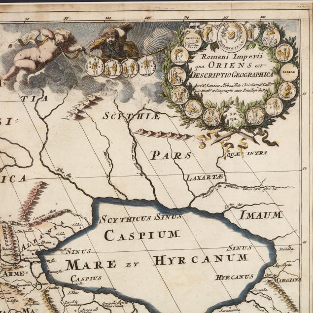
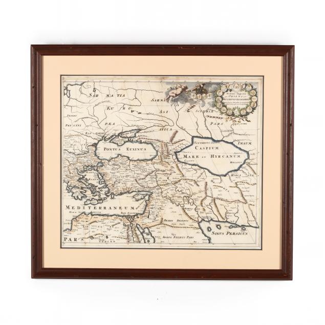
Antique Map of Asia and Europe Under Roman Empire, Romani Imperii qua Oriens est Descriptio Geographica
Explore more items like this one.
Visit our Historical Department Historical
Lot Details & Additional Photographs
DOA 21 x 23 1/4 in.
From the collection of the late Ruth Swanson, Chapel Hill, North Carolina
Some age-related staining and light toning; center fold with possible separation that could be original; light cockling; unexamined out of frame.