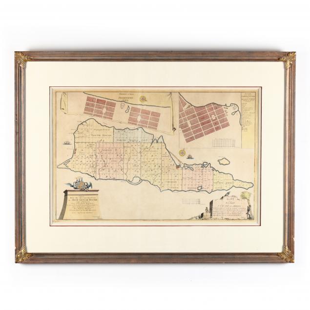
large-1754-map-of-st-croix-dutch-west-indies-by-jens-michelsen-beck
Lot 350
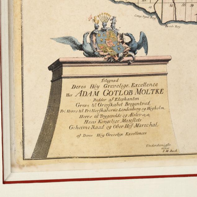
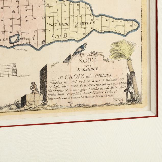
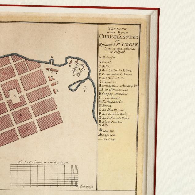
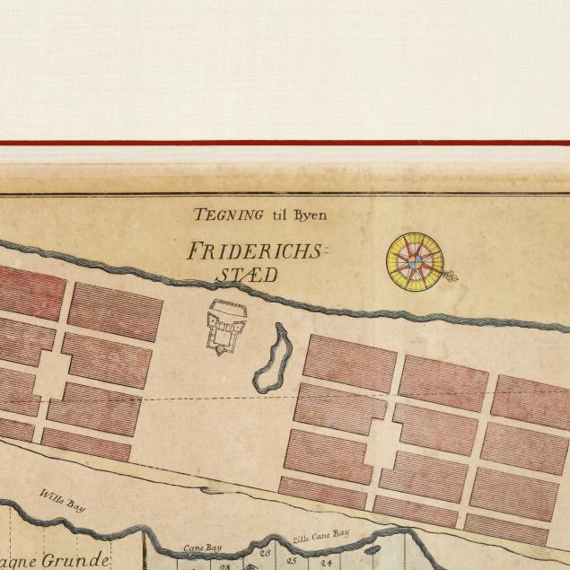
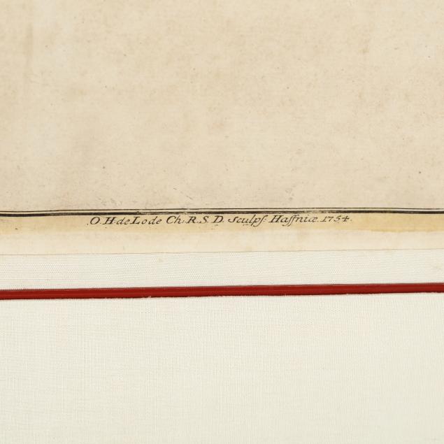
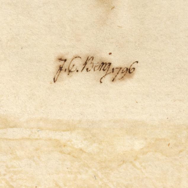
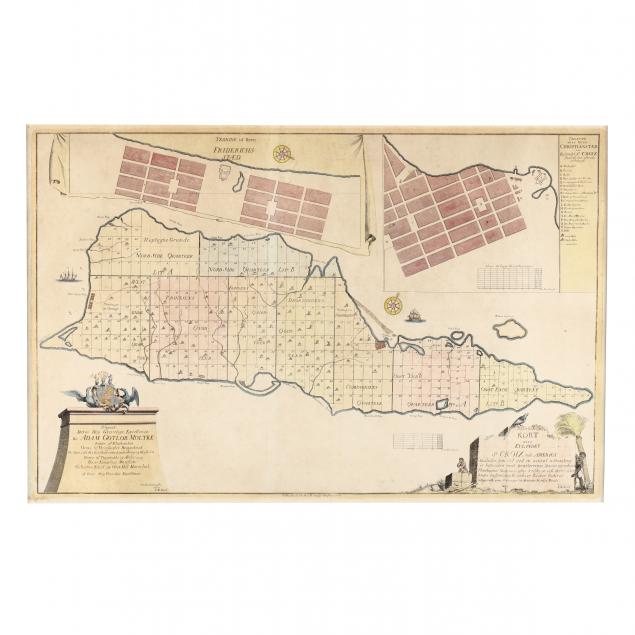
Large 1754 Map of St. Croix, Dutch West Indies by Jens Michelsen Beck
Lot Details & Additional Photographs
Copperplate engraving with hand color, its telling cartouche includes an African slave and a pile of harvested sugar cane, the overall view of St. Croix shows property divisions marking the numerous sugar plantations that were the backbone of the island's economy; large inset plans of Friderichstæd and Christianstæd are placed above the primary map; the verso is twice signed "F. C. Benj 1796" and numbered "88." Perhaps the signatory was related to Judah P. Benjamin, the St. Croix-born U. S. Senator from Louisiana and, later, the Confederate Secretary of State.

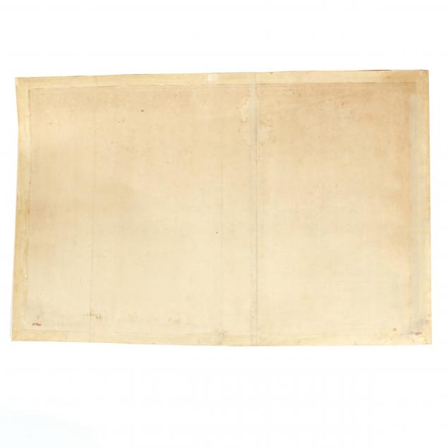
Sheet 21.25 x 31.75 in.; DOA 31.25 x 41.25 in.

Since 1916 the St. Croix has been one of the U. S. Virgin Islands.

Mounted properly in the frame without being laid down; full margins; very good overall condition.

$300 - 600