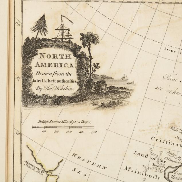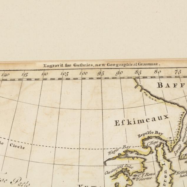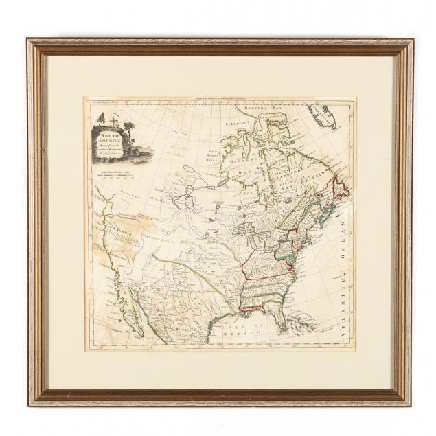
Lot 172
18th Century Map of North America, Kitchin, Thomas
Explore more items like this one.
Visit our Historical Department Historical
Lot Details & Additional Photographs
Sight size 13-1/2 x 14-1/2 in.; Frame dimensions 19-3/4 x 20-1/2 in.
Private Collection, New Bern, North Carolina
Not laid down; fold creases; some subtle acid transfer between upper and lower halves of the sheet; light age toning.