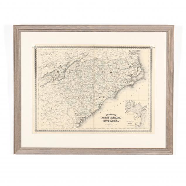
Lot 2143
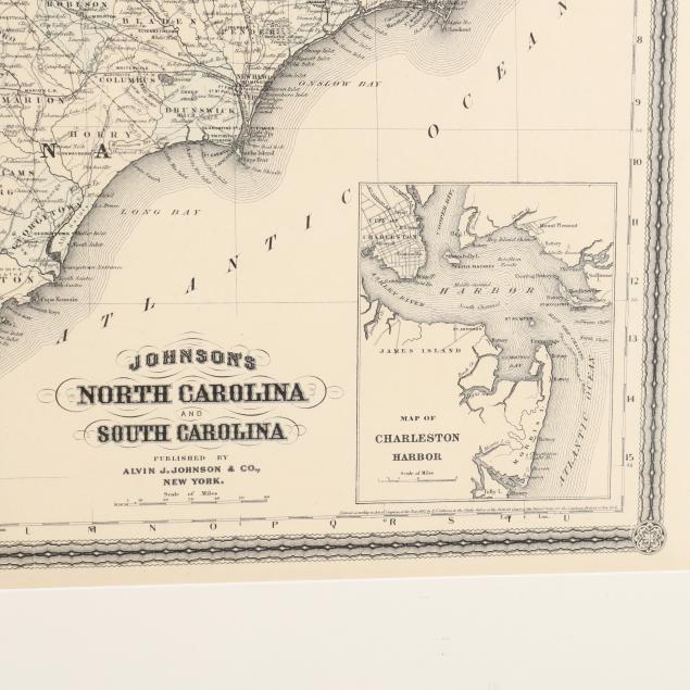
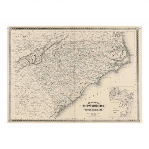
Reconstruction Era Map, Johnson's North Carolina and South Carolina
Explore more items like this one.
Visit our Historical Department Historical
Lot Details & Additional Photographs
Sight size 17-1/2 x 24 in.; Frame dimensions 25-1/2 x 31-1/2 in.
From the Collection of Winslow Goins, Rocky Mount, North Carolina
Light age toning; vertical fold; very good appearance, not examined out of the frame.