Lot 391
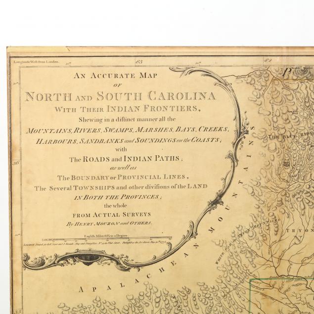
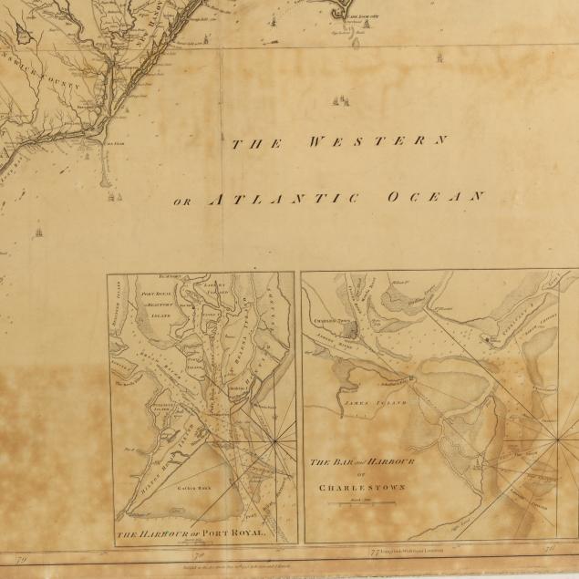
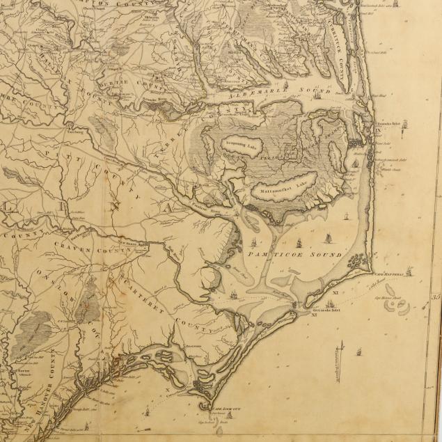
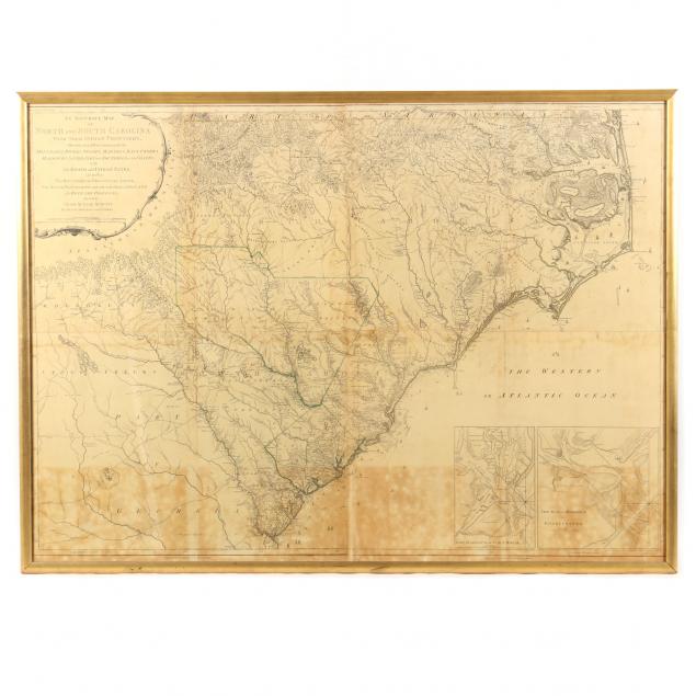
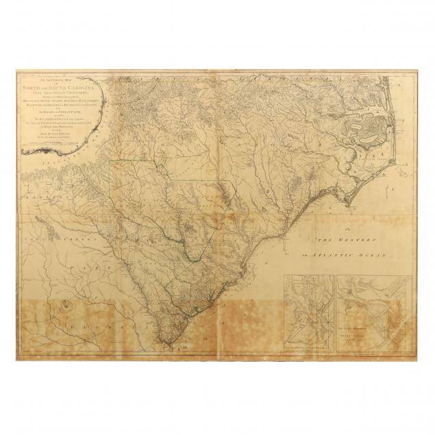
Mouzon's Celebrated Map of the Carolinas
Explore more items like this one.
Visit our Historical Department Historical
Lot Details & Additional Photographs
copperplate engravings, with sparse hand-coloring to select boundaries, the whole presented in a mid-20th century custom gilt wooden frame.
Sight size 40-1/4 x 55-1/2 in.; Frame dimensions 42-1/4 x 57-1/2 in.
Virginia Private Collection
The Mouzon maps are valued for their accuracy and firsthand association with the American Revolution in the Carolinas. Heavily relied upon in the field by top strategists on both sides of the war, these maps saw widespread use into the early 19th century.
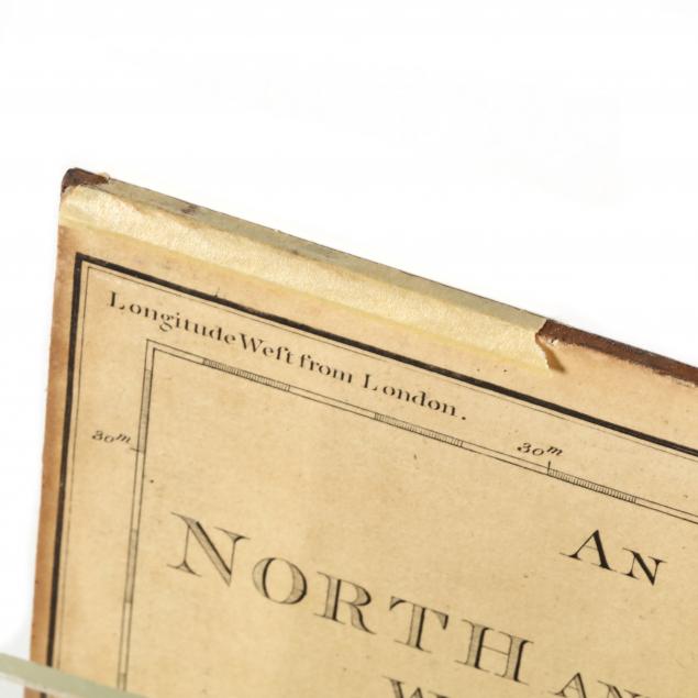
This map was laid to a tempered acidic hardboard many years ago and is consequently yellowed with stains today. A professional conservator can free the map from the board it is on and restore the paper to its original color. The map enjoys a strong impression and remains intact, making it a perfect candidate for conservation and display.
$4,000 - 8,000