two-rare-maps-of-southeastern-colonial-ports
Lot 2258
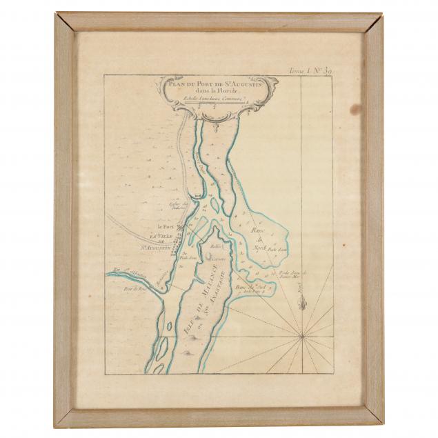
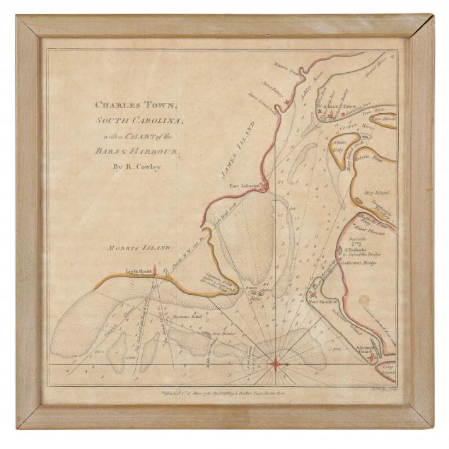
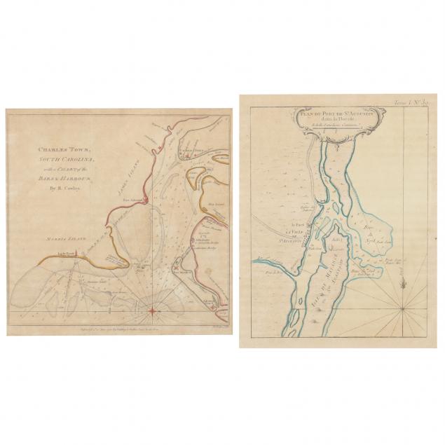
Two Rare Maps of Southeastern Colonial Ports
Lot Details & Additional Photographs
To include: Cowley, R. Charles Town, South Carolina, with a Chart of the Bars & Harbour (London: Fielding & Walker, 1780), from Westminster Magazine, copperplate with sparse hand color, in wooden frame (9 x 9 in.); Bellin, Jaques. Plan Du Port De St. Augustin dans la Floride (Echelle d' uneLieue Commune), n.d. (1764), copperplate with outline color, in wooden frame (11-1/4 x 9 in.).

Ex. Virginia Private Collection

Both maps are most likely laid down and have had long term exposure to acidic backing that results in dark toning; fair condition.