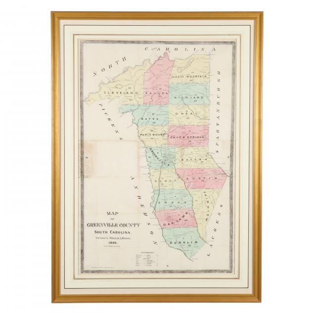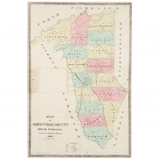
Lot 2260
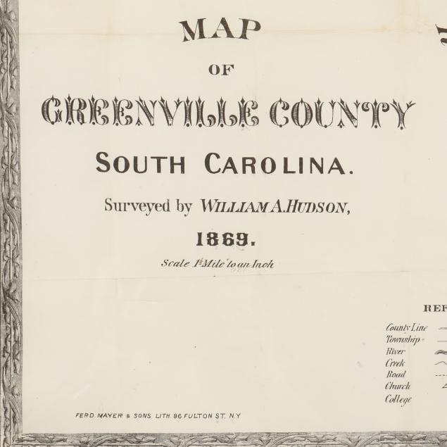
Large 19th Century Map of Greenville County, South Carolina
Explore more items like this one.
Visit our Historical Department Historical
Lot Details & Additional Photographs
Sight size 36-1/2 x 24-1/4 in.; Frame dimensions 45 x 32-1/4 in.
Ex. Virginia Private Collection
Stain to left margin, likely acid transfer from another sheet; fold creased as made; very good appearance, not examined out of the frame.