Lot Details & Additional Photographs
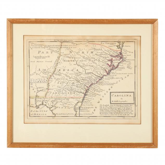
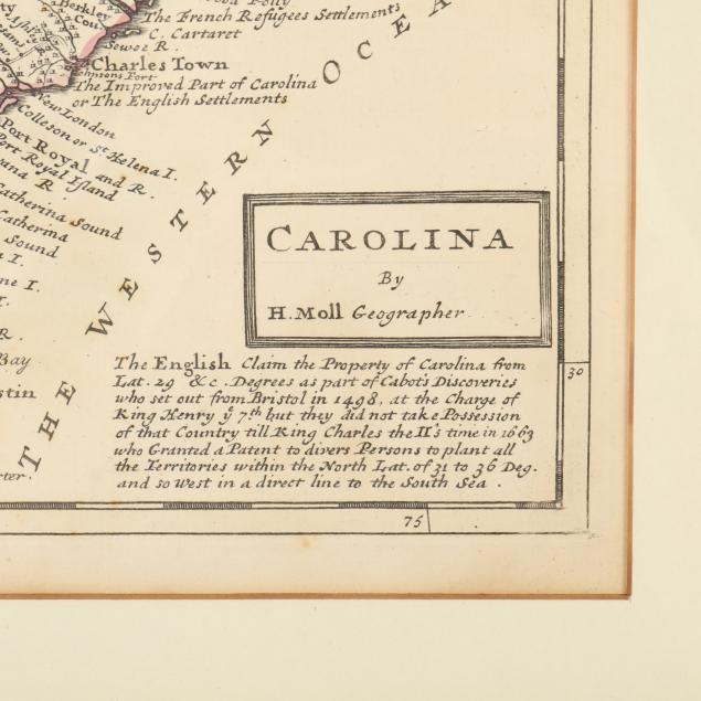
To include: Moll, Herman.
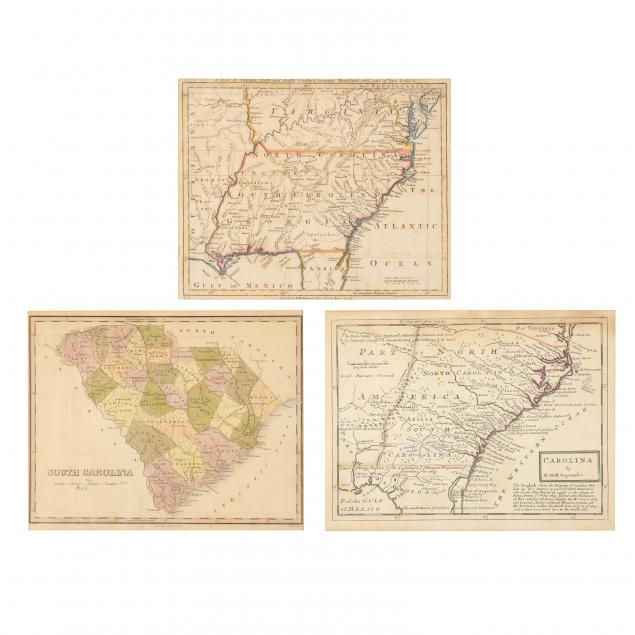
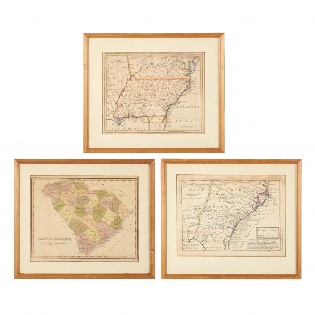
Carolina n.p., n.d. (1729) copperplate engraving with sparse outline color, depicts North America's southeastern coast from the mouth of the Chesapeake Bay to north Florida; plus...Baldwin, Robert.
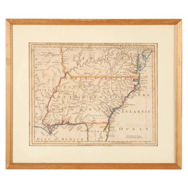
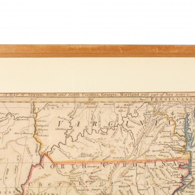
A Map of Virginia, North and South Carolina, Georgia, Maryland with part of New Jersey &c.London, R. Baldwin, 1755), copperplate engraving with outline color, European expansion is clearly shown as this small map extends west of the Mississippi River; plus...Finley, Anthony.
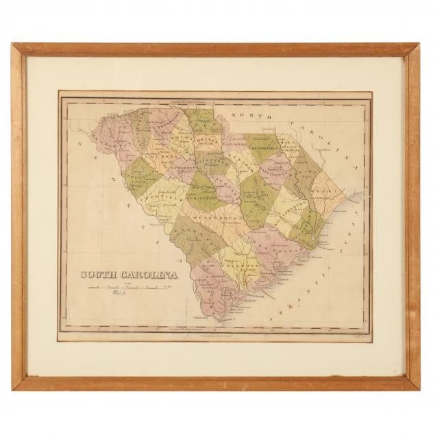
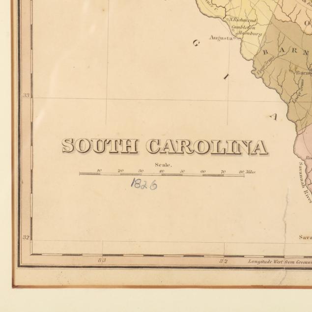
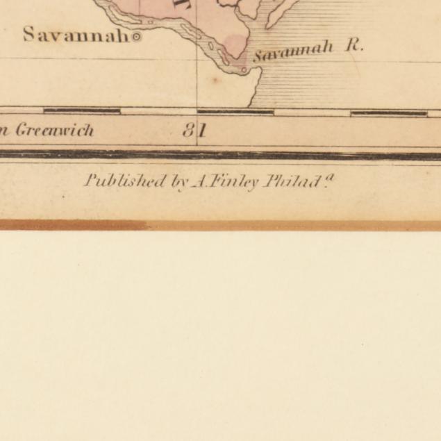
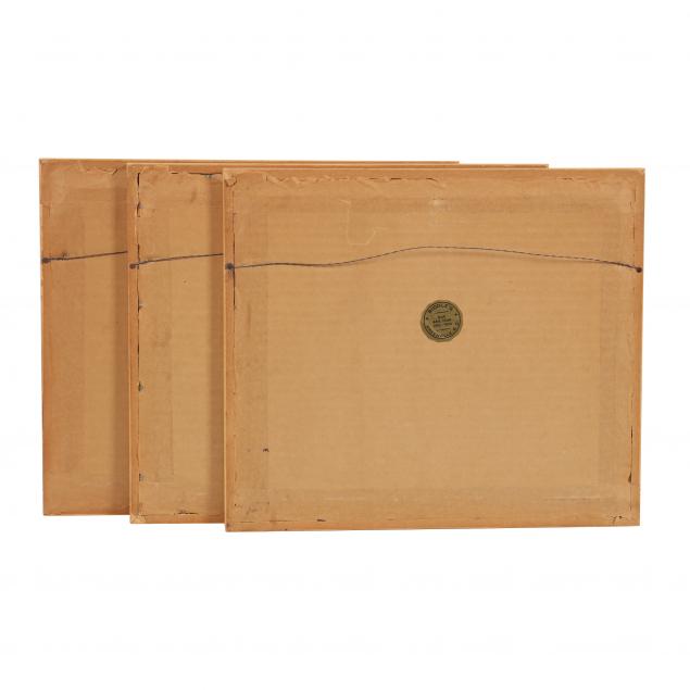
South Carolina (Philadelphia: A. Finley, n.d., circa 1820s with 20th century inscribed 1826 date), engraving with color; all maps in matching wooden frames, the verso of each affixed with a gold seal reading "Riddle's Greenville, S.C., Our 44th Year, 1910-1954."
Frame dimensions 12-3/4 x 14-3/4 in.
Ex. Virginia Private Collection The Moll map was opened and proved to be laid down while the other maps, though unopened, appear laid down as well. Even age toning; some scuffs to frames.