Lot 159
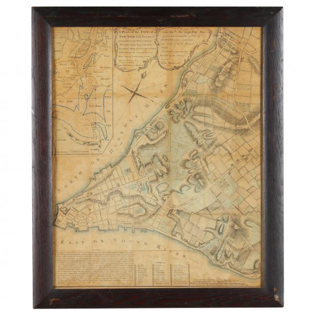
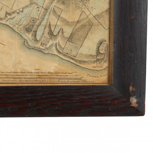
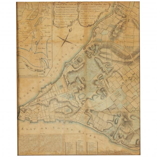
1850s Re-creation of 18th Century Map Showing Lower Manhattan
Explore more items like this one.
Visit our Historical Department Historical
Lot Details & Additional Photographs
Frame 27-1/4 x 22-3/4 in.
A grid of fold creases from being bound in a book or folder; light damp stains and even age toning; not examined our f the frame.