Lot Details & Additional Photographs
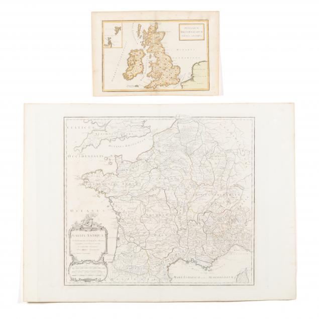
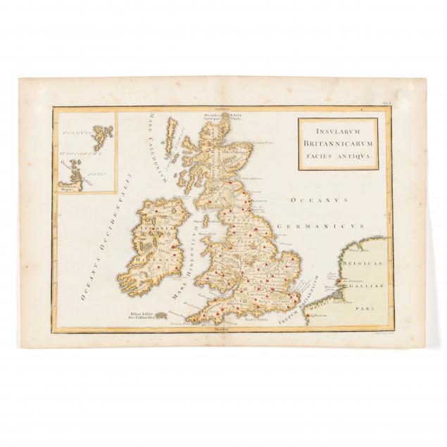
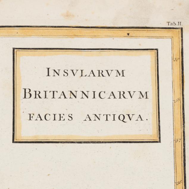
As follows: Cellarius, Christoph.
Insularum Britannicarum Facies Antiqua., copperplate engraving by Ricard Seale with hand color, circa 1750 edition of
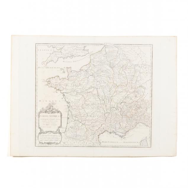
Geographica Antiqua (Plate 8-1/4 x 12-1/2 in.; sheet 9-5/8 x 14-1/4 in.) (Minor spotting outside of plate; overall age toning; very good condition); Vaugondy, Robert.
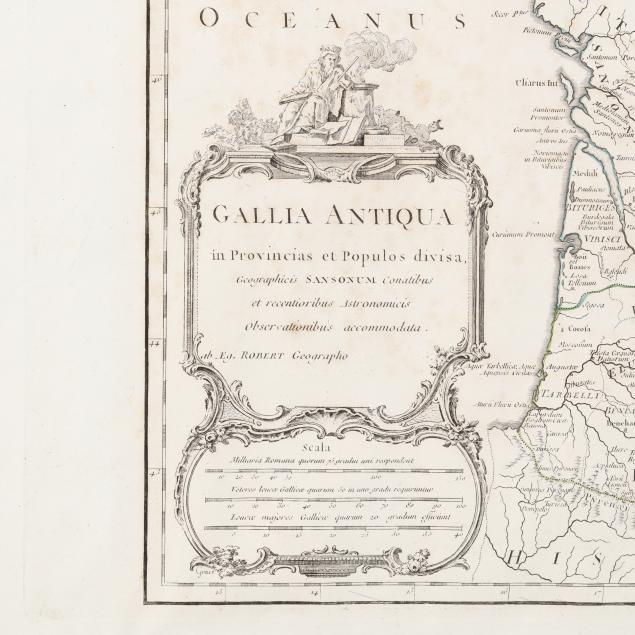
Gallia Antiqua in Provincias et Populos divisa (Paris, 1785), copperplate engraving with sparse outline color, the map depicting France as Gaul during Roman times (Plate 19-1/2 x 24-1/2; sheet 30-3/4 x 22-1/4 in.) (Age toning with a few trivial stains; two vertical folds 1-3/4 in. from the plate; overall very good condition).