19th-century-maps-of-the-new-york-city-area-and-the-state-of-new-jersey
Lot 448
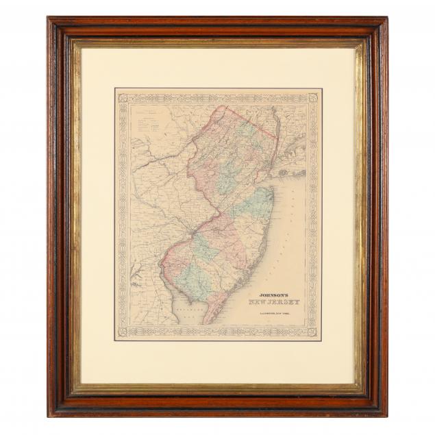
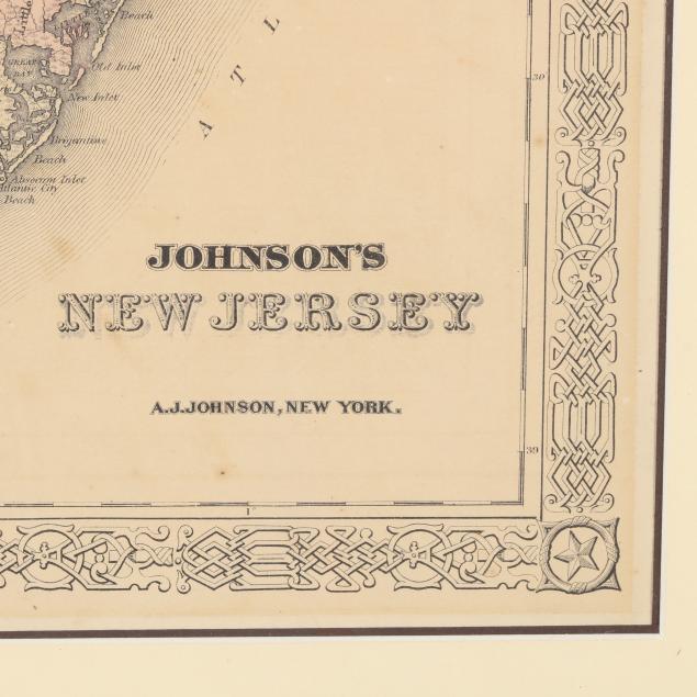
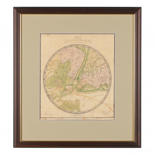
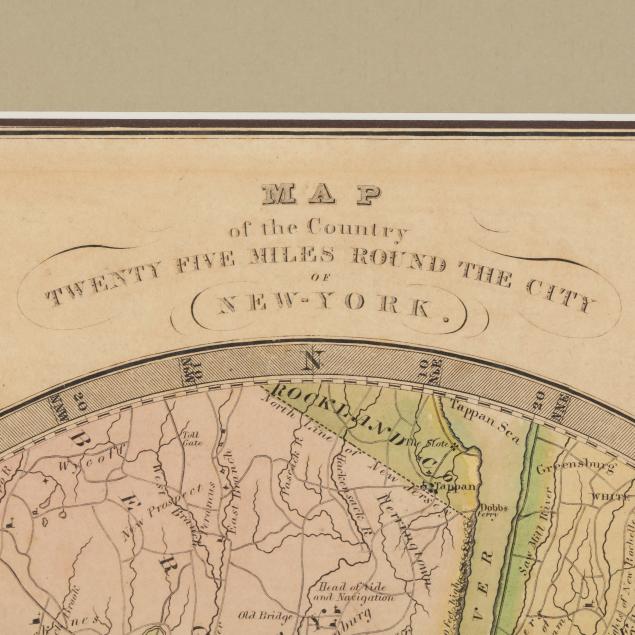
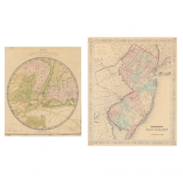
19th Century Maps of the New York City Area and the State of New Jersey
Lot Details & Additional Photographs
As follows: Map of the Country Twenty Five Miles Round the City of New - York (New York: David H. Burr, 1831), centered on Manhattan, the map depicts adjacent areas of New Jersey and Long Island; presented in modern wooden frame (Frame size 19-3/4 x 21-3/4 in.); plus...Johnson's New Jersey, circa 1870, steel engraving with color, presented in wooden frame. (Frame size 25-3/4 x 21-3/4 in.).

From the Estate of the late Joel M. Johnson Jr., Pinehurst, North Carolina

Some stains to the New York map; both maps with light age toning and in good condition.