Lot Details & Additional Photographs
To include:
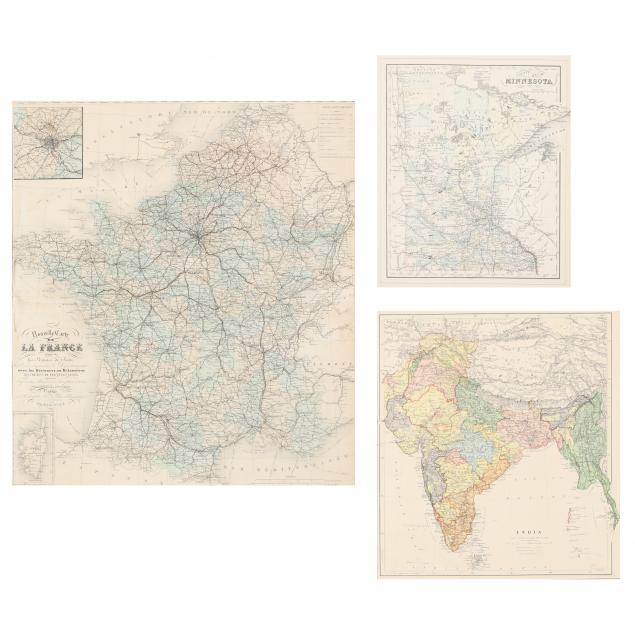
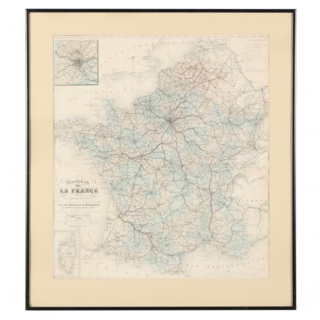
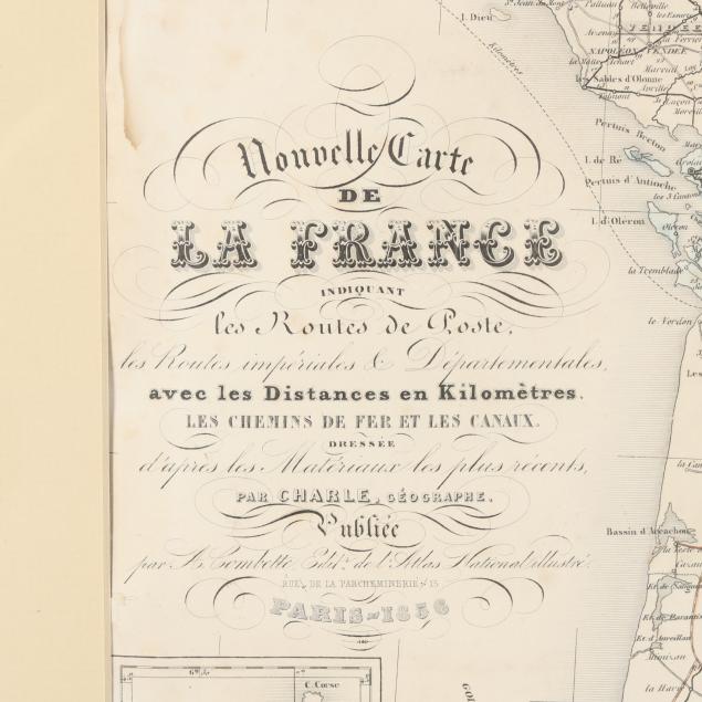
Nouvelle Carte De La France (Paris, 1856), steel engraving with color, inset maps of metropolitan Paris and the island of Corsica (Frame dimensions 28-1/4 x 25-1/4 in.) (Toned with some light peripheral damp stains, else very good condition);
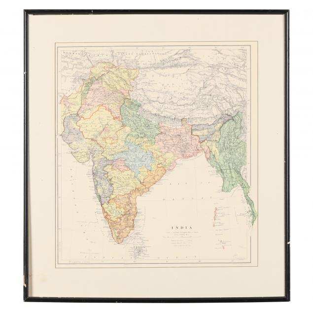
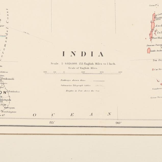
India (London: Stanford's Geographical Establishment, n.d.), steel engraving with color, depicting the Indian subcontinent during the heyday of British rule (Frame dimensions: 20-3/4 x 18-3/4 in.) (Map properly mounted; light age toning and bold color; later 20th century colonial Indian frame lacks glass, else very good condition);
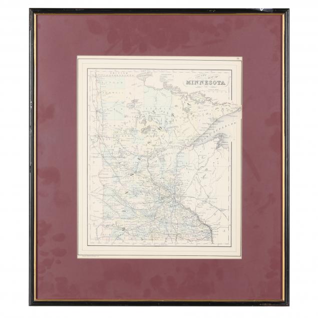
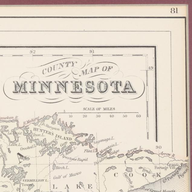
County Map of Minnesota (M. Braley & Son, 1887), steel engraving with color, behind mat in later wooden frame with UV protective glass (Frame dimensions: 21 x 18-3/8 in.) (Light age toning; not examined out of the frame).
Private Collection of a Lady, Pittsboro, North Carolina