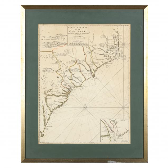
Lot 3084
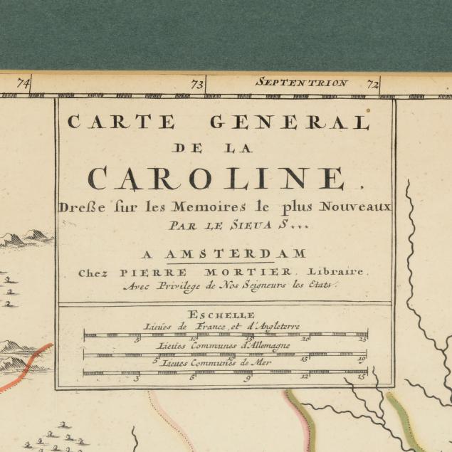
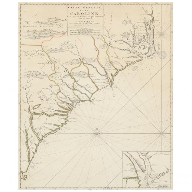
Mortier, Pierre. Carte General De La Caroline
Explore more items like this one.
Visit our Historical Department Historical
Lot Details & Additional Photographs
29-1/4 x 25-1/4 in.
From the Estate of the late Thomas and Pamela Wright, Delaware and New York
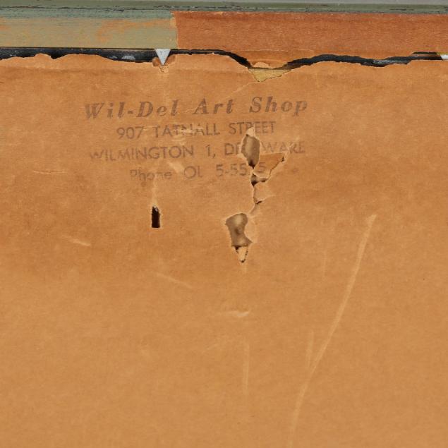
The map is laid to a board; light age toning with two small worm holes.