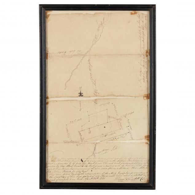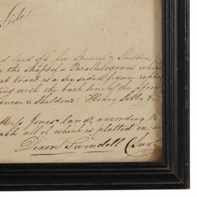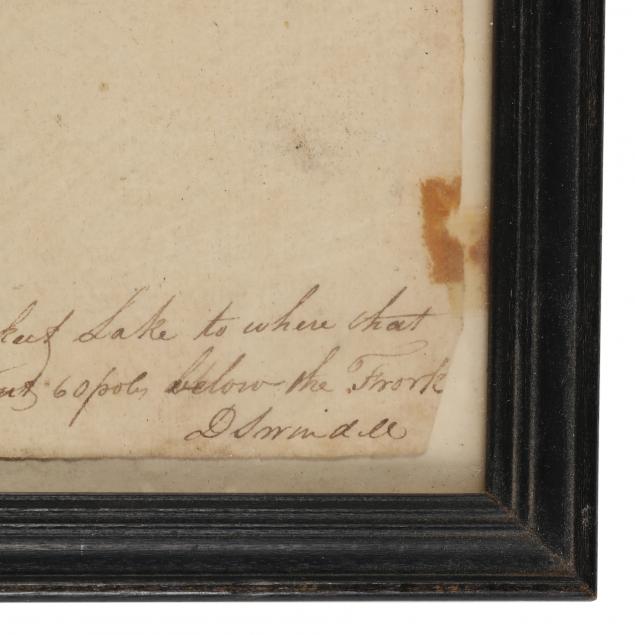
Lot 623
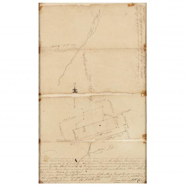
Early NC Plat Shows Acreage Between Lake Mattamuskeet and Alligator River
Explore more items like this one.
Visit our Historical Department Historical
Lot Details & Additional Photographs
Splits along folds with old tape remnants; light toning to sheet; fair condition. Not examined out of the frame.