d-anville-and-de-vaugondy-i-a-new-map-of-north-america-i
Lot 3204
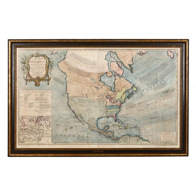
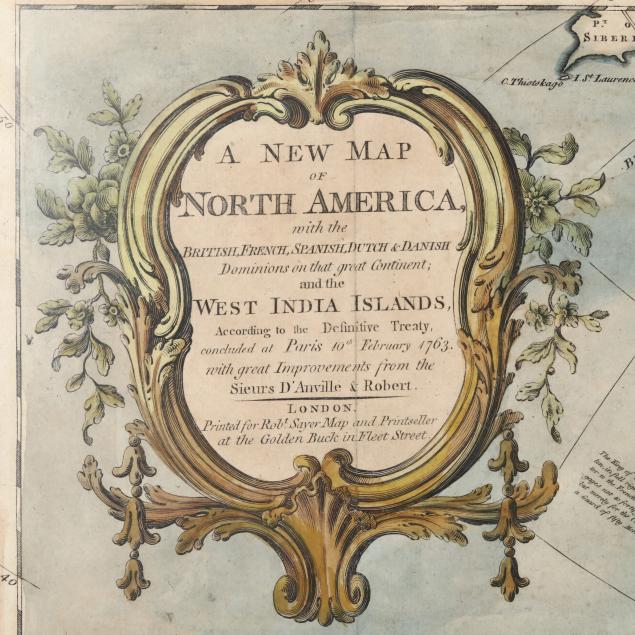
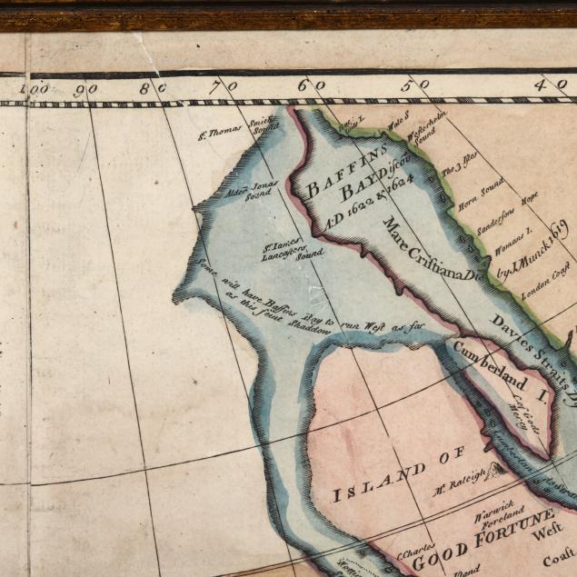
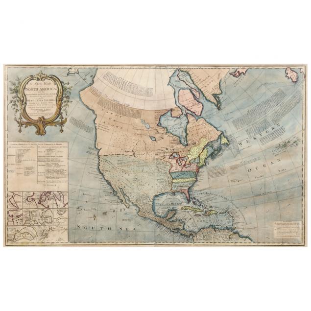
D'Anville and de Vaugondy, A New Map of North America...
Lot Details & Additional Photographs
...with the British, French, Spanish, Dutch & Danish Dominions on that great Continent; and the West India Islands, According to the Definitive Treaty, concluded at Paris 10th February 1763. (London: Robert Sayer, n.d.), circa 1763, copperplate engraving with hand color, two insets below the cartouche variously show the political divisions of North America and maps of ten ports stretching from Nova Scotia to Cartagena. Presented in 20th century gilt wooden frame with brass title plate reading "Sayer 1763."

Frame dimensions 28 x 42-3/4 in.

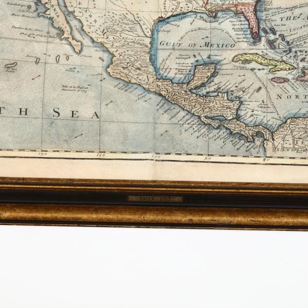
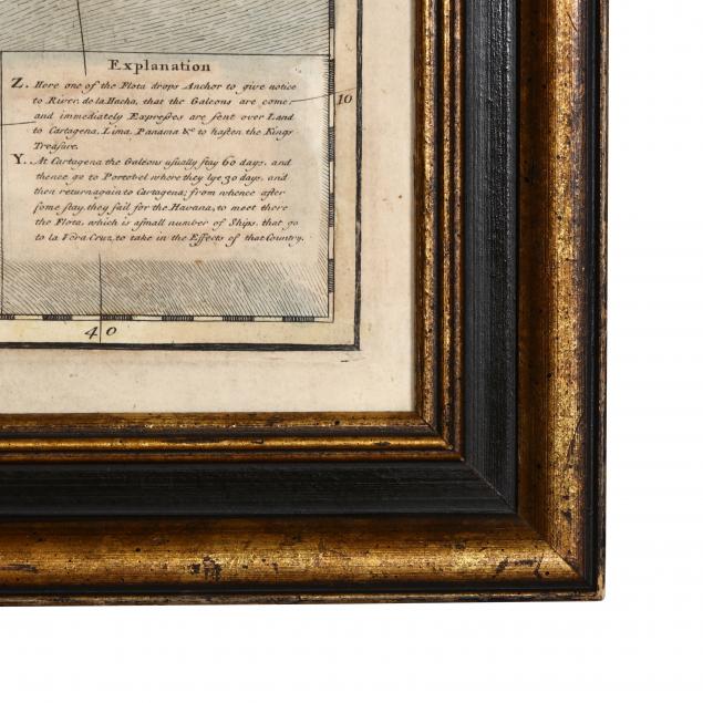
Full margins; light age toning and soiling; four shallow fold creases; some insignificant damp stains and scattered foxing; overall very good condition.