sheet-with-early-maps-of-the-western-and-northern-france-by-mattheo-ogerio
Lot 2097
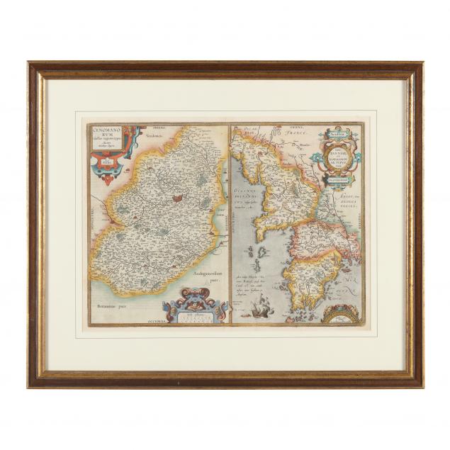
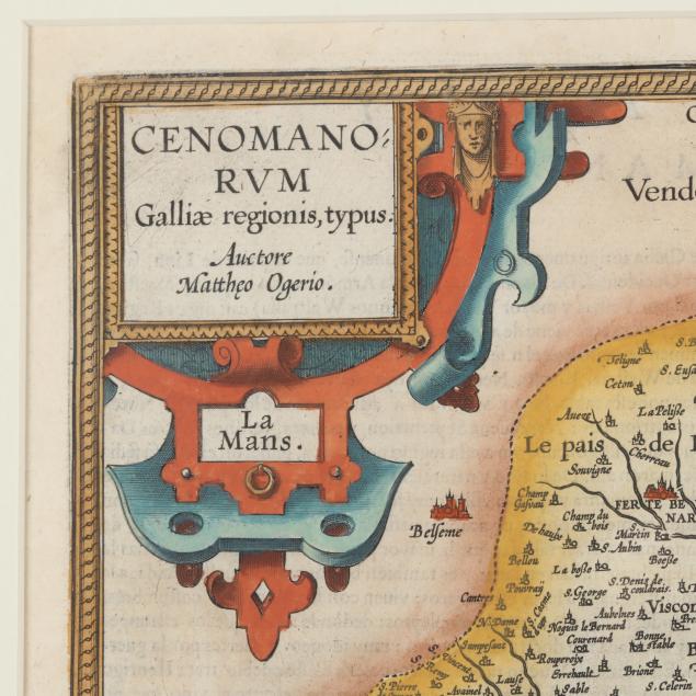
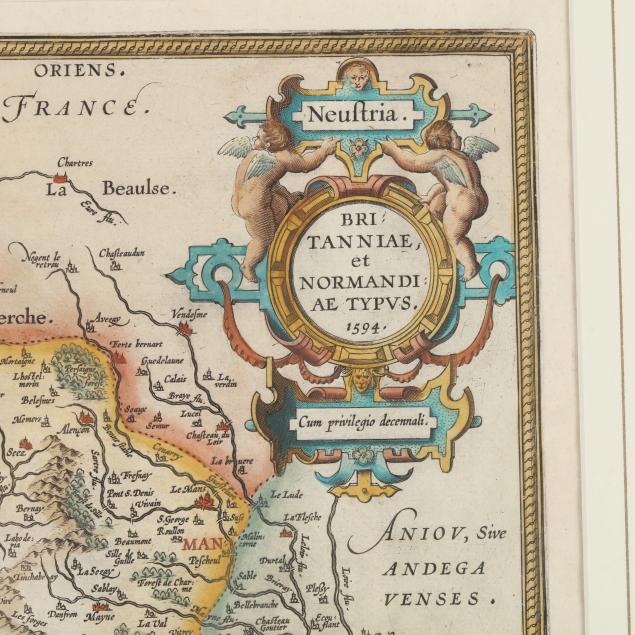
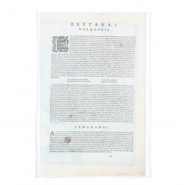
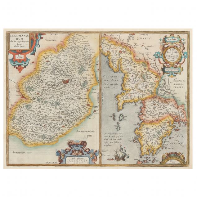
Sheet with Early Maps of the Western and Northern France by Mattheo Ogerio
Lot Details & Additional Photographs
Dated 1594, but possibly mid-17th century, being Brittany and Normandy, as follows:Cenomanorum Galliae regionis typus and Britanniae et Normandiae Typus mid-17th century, copperplate engraving with hand color, likely published in Amsterdam by Blaeu. Presented behind mat in one-sided gilt wooden frame; verso text in Spanish as shown on a facsimile of the back which is present (Frame dimensions 24 x 28-1/2 in.).

From the Collection of Mr. & Mrs. Harry Trimborn, Raleigh, North Carolina

Not examined out of frame; age toning and central fold from atlas; very good condition.