Lot 229
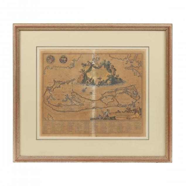
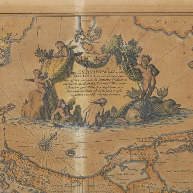
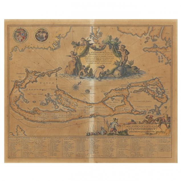
Willem Blaeu, Mappa Aestivarum Insularum Alias Barmuda...
Explore more items like this one.
Visit our Historical Department Historical
Lot Details & Additional Photographs
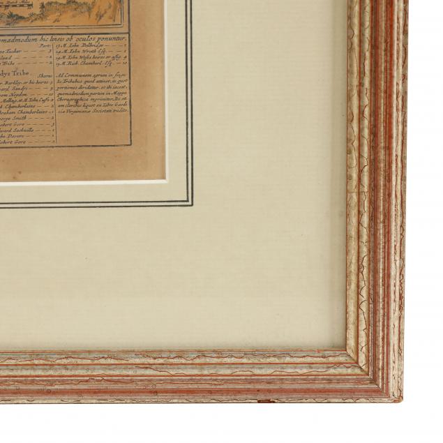
Frame dimensions 20 x 22-1/2 in.
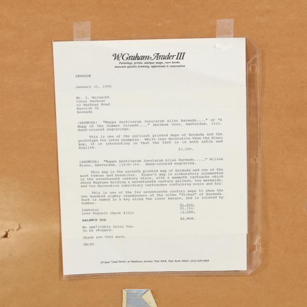
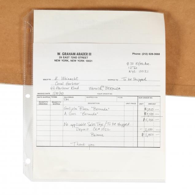
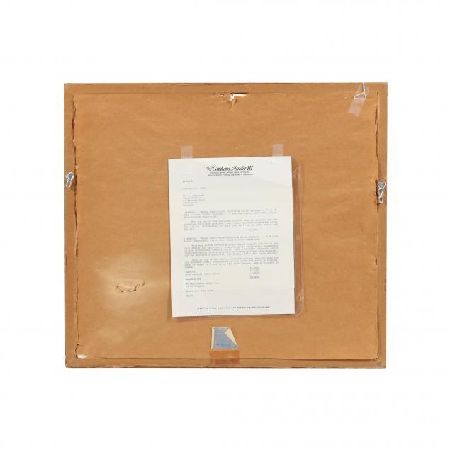
Invoice is included that shows the map was acquired in 1990 from New York City dealer W. Graham Arader III.
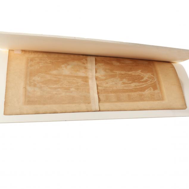
Overall browning with some small random spots; good condition.