Lot Details & Additional Photographs
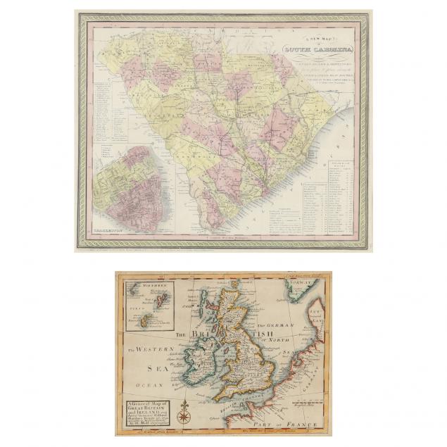
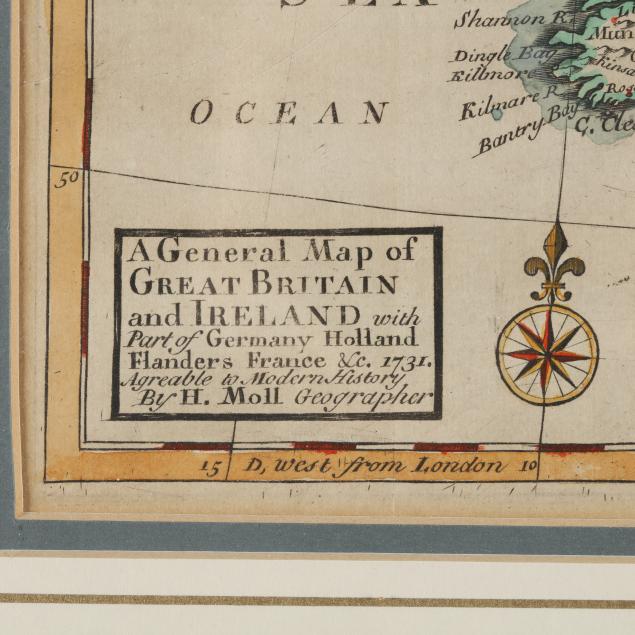
To include: Moll, Herman.
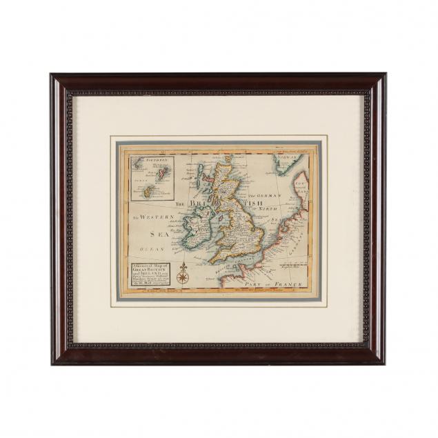
A General Map of Great Britain and Ireland London, 1731), copperplate engraving with hand color, includes inset map of Scotland's northern islands. Presented in beaded frame (16 x 18-3/4 in.) (Very good condition retaining bold color); plus,
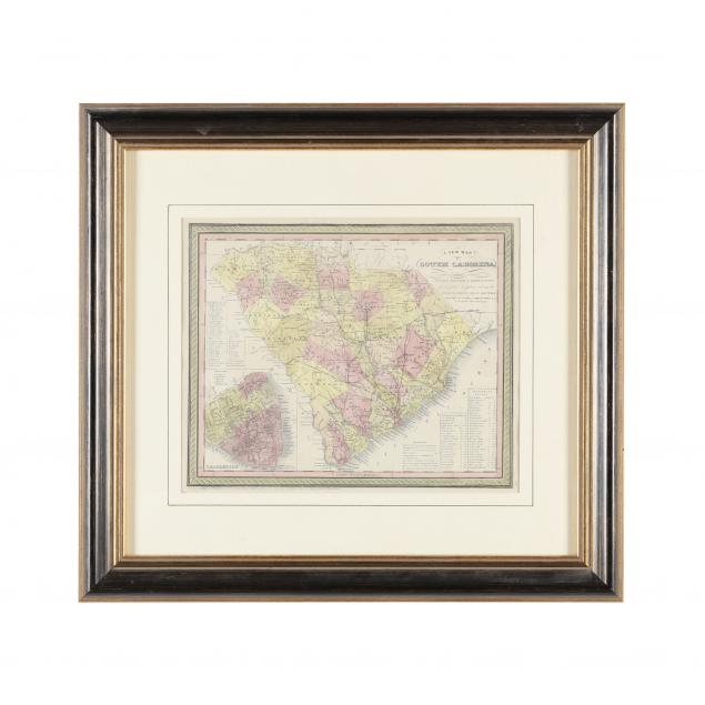
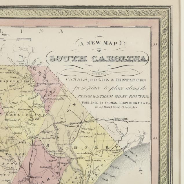
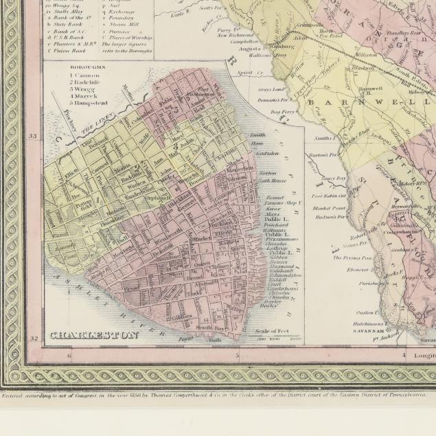
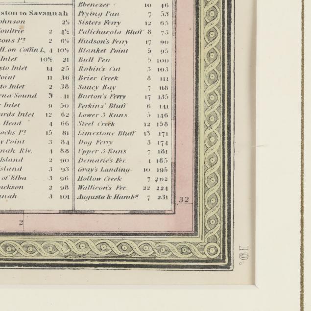
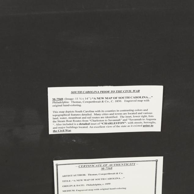
A New Map of South Carolina With Its Canals, Roads & Distances (Philadelphia: Thomas, Copperthwaite & Co., 1850), steel engraving with color; presented behind mat in gilt and painted wooden frame (21-3/4 x 21-3/4 in.).