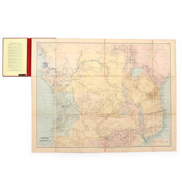
Lot 318
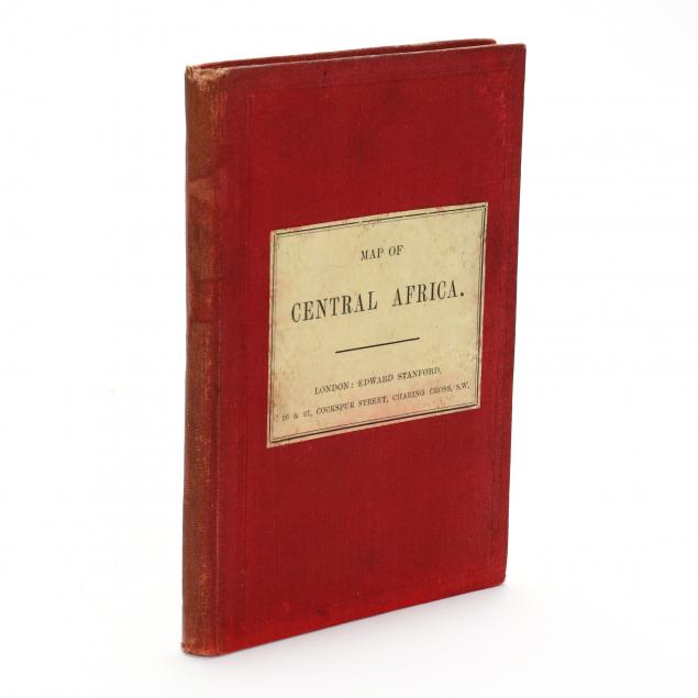
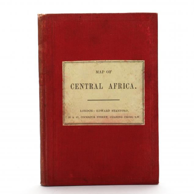
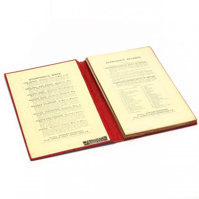
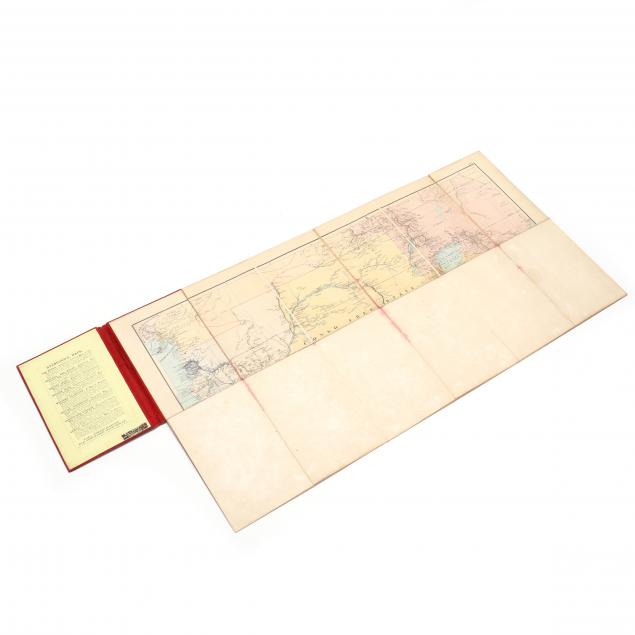
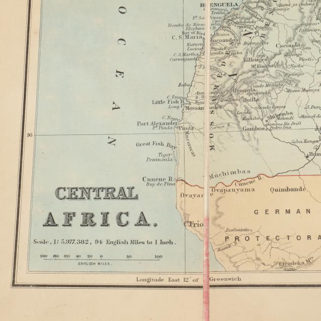
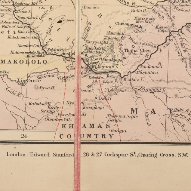
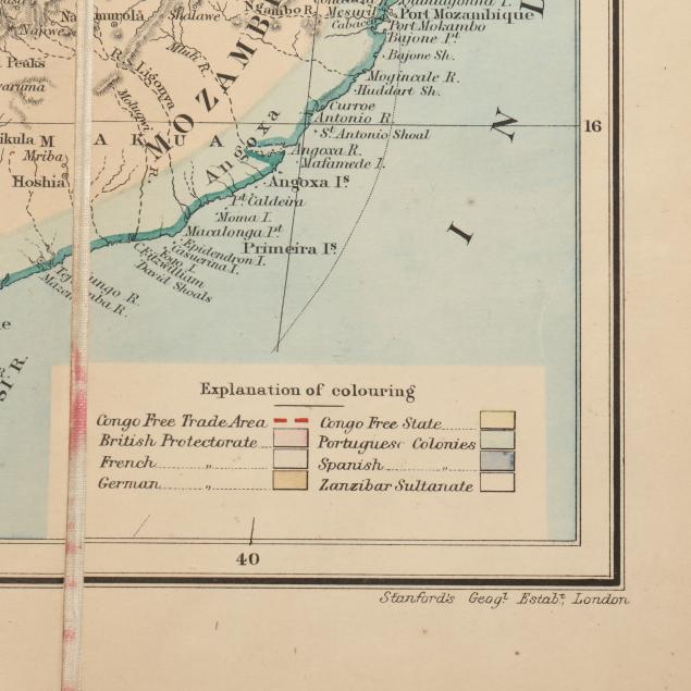
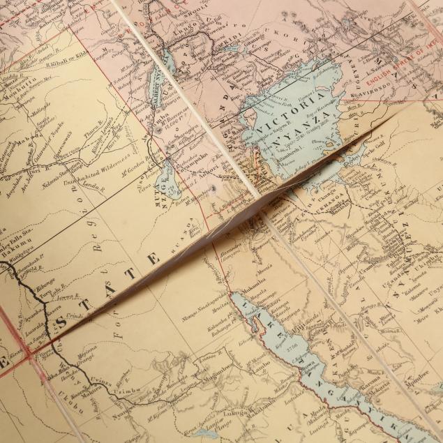
Edward Stanford's Map of Central Africa
Explore more items like this one.
Visit our Historical Department Historical
Lot Details & Additional Photographs
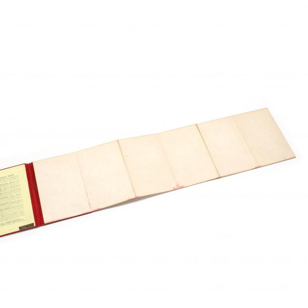
Case 5 x 7 1/4 in.; map 21 1/2 x 27 5/8 in.
Private Collection, Chapel Hill, North Carolina
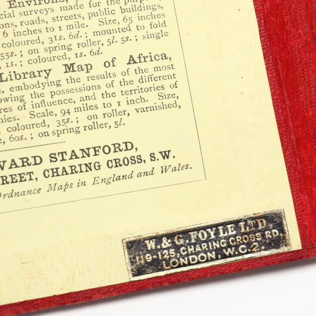
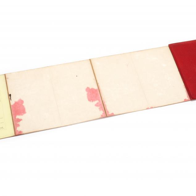
Case stained and marked, corners rubbed, spine lightly cocked with wear including fraying at head; labels scuffed and lightly stained; map stained, mostly red from case, lightly toned, one larger and one small split in linen.