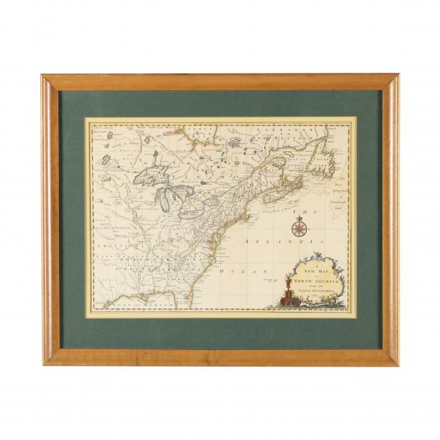
Lot 2055
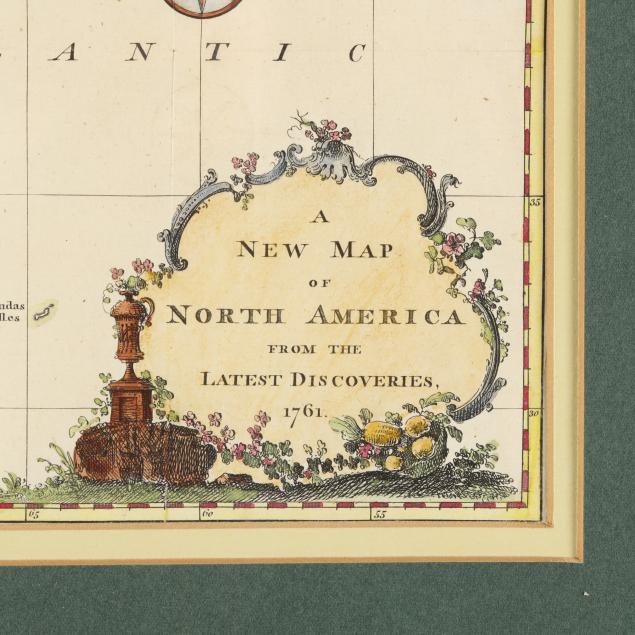
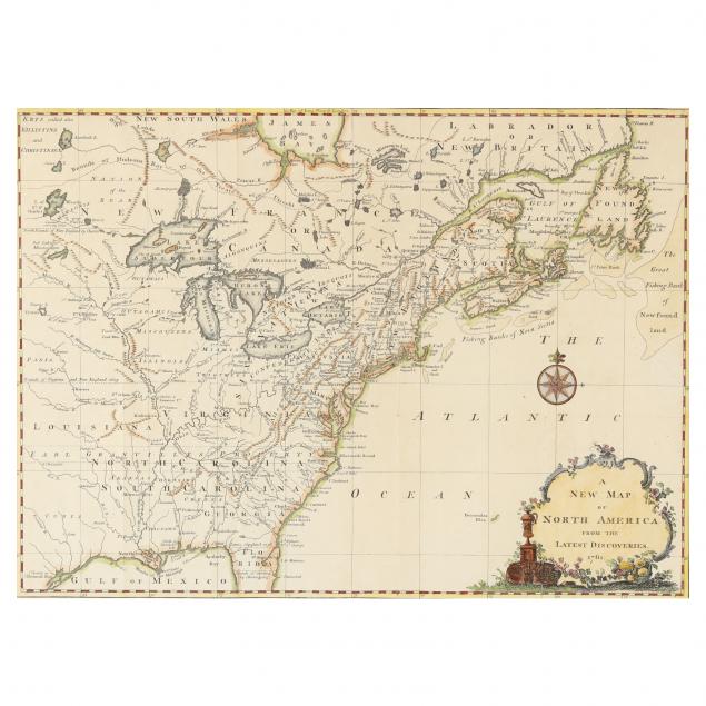
Map of the British Colonies in North America, 1761
Explore more items like this one.
Visit our Historical Department Historical
Lot Details & Additional Photographs
Image size 10 3/4 x 14 3/4 in.; frame dimensions 16 3/4 x 20 1/2 in.
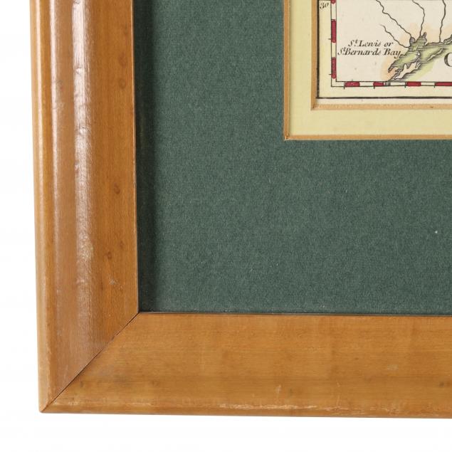
With (4) vertical fold creases, (1) horizontal fold crease, and additional shallow creases; (1) area of very minor soiling, (1) 1-in. tear on far right side, light toning; not examined out of frame; frame with light wear; good overall condition.