Lot Details & Additional Photographs
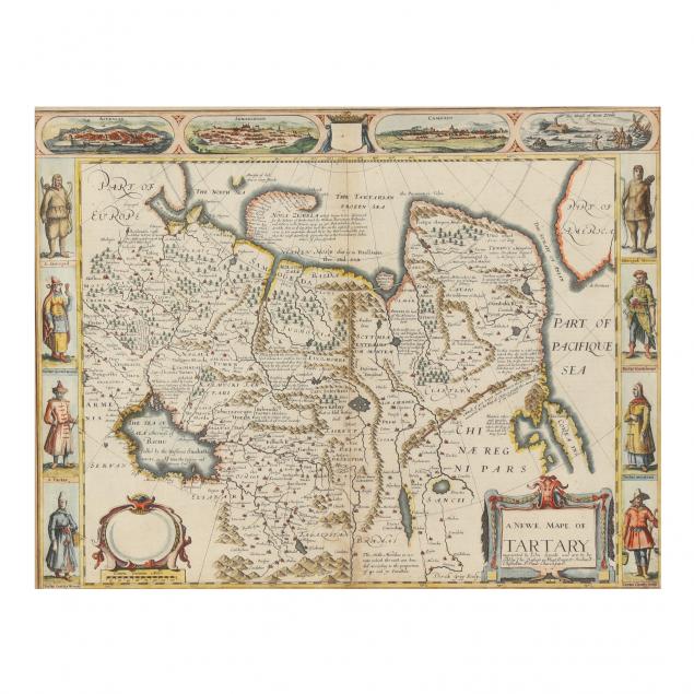
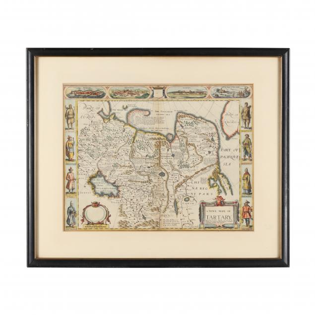
John Speede. A. NEWE. MAPE OF. TARTARY. London: Bassett & Chiswell, [1676]. From Speed's atlas
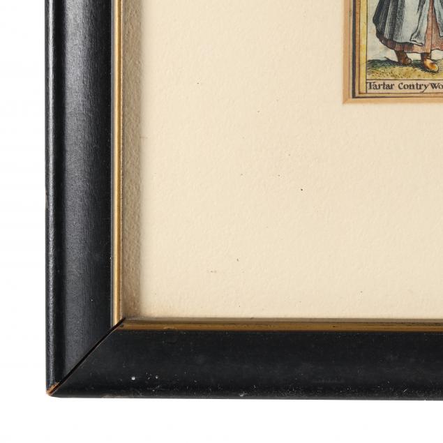
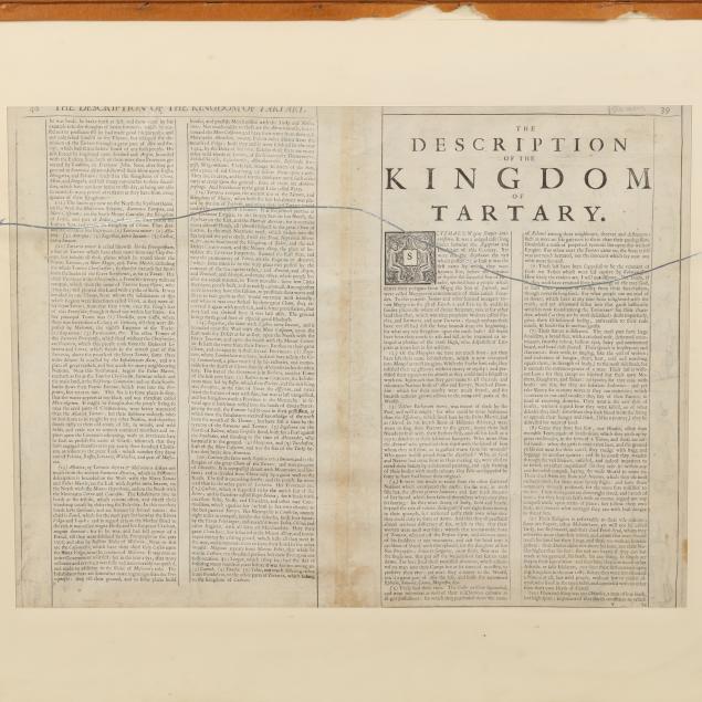
The Theatre of the Empire of Great Britaine..., double-page copperplate engraving, hand colored, presenting the region then known as Tartary, including Russia, China, and other areas, with a glimpse of Alaska in the upper right corner. Well-annotated and illustrated, with the Great Wall of China, (4) figures on each side, and vignettes at the top with (3) city views and an illustration of Novaya Zemlya in northern Russia; two cartouches in bright colors, (1) with title and the statement "augmented by John Speede and are to be sold by Tho. Bassett in Fleet Street, & Richard Chiswell in St. Pauls Churchyard."; a description in English of "the Kingdom of Tartary" on verso (pp. 39-40); matted, with both sides behind glass to present recto and verso clearly, in black and gilt wooden frame.
Image size 15 1/2 x 20 in.; frame dimensions 23 1/8 x 27 5/8 in.
Map in very good condition for its age with expected toning and very light foxing; small stain to verso, small tears at bottom edge; center seam as published with some additional minor creasing; not laid down, not examined out of frame.