Lot 4121
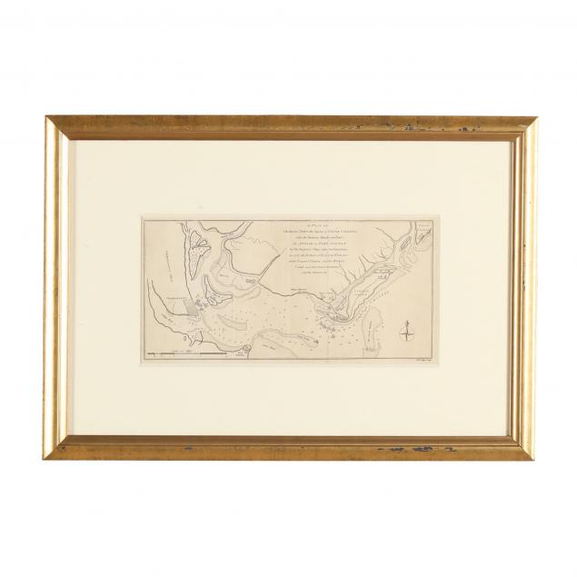
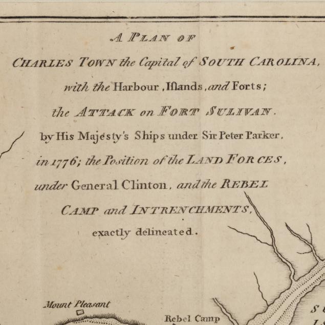
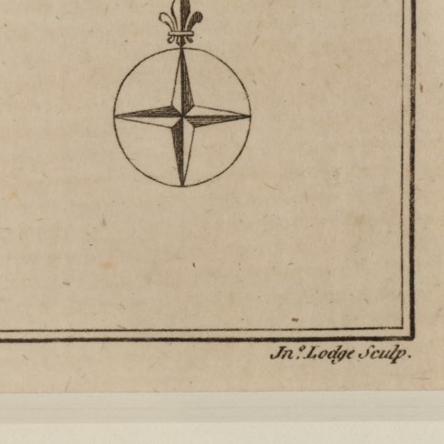
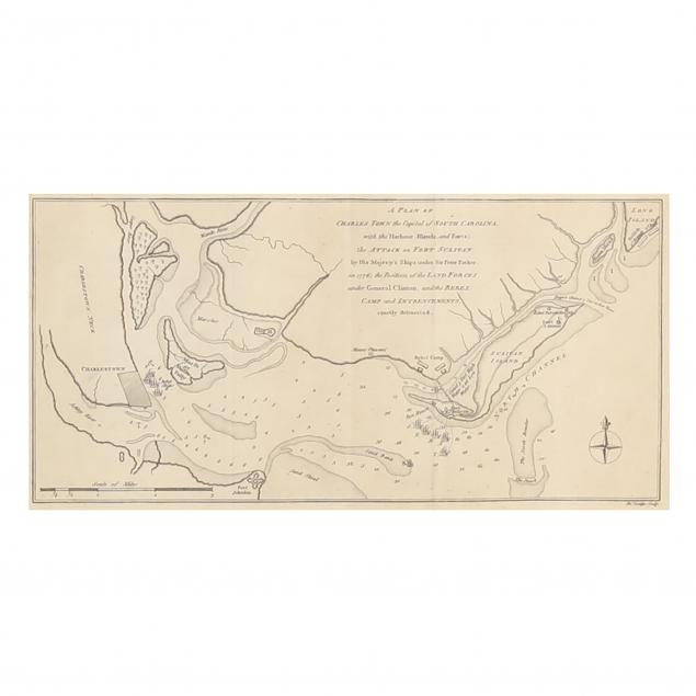
Period Revolutionary War Map of Charleston, South Carolina by John Lodge
Explore more items like this one.
Visit our Historical Department Historical
Lot Details & Additional Photographs
Overall dimensions 13-1/2 x 19-1/4 in.
Private Hilton Head Island Collection
Presented behind mat in a custom gilt wooden frame.
Fine condition with light age toning; not examined out of the frame.