Lot Details & Additional Photographs
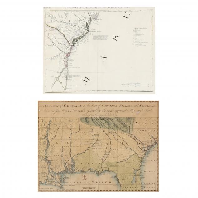
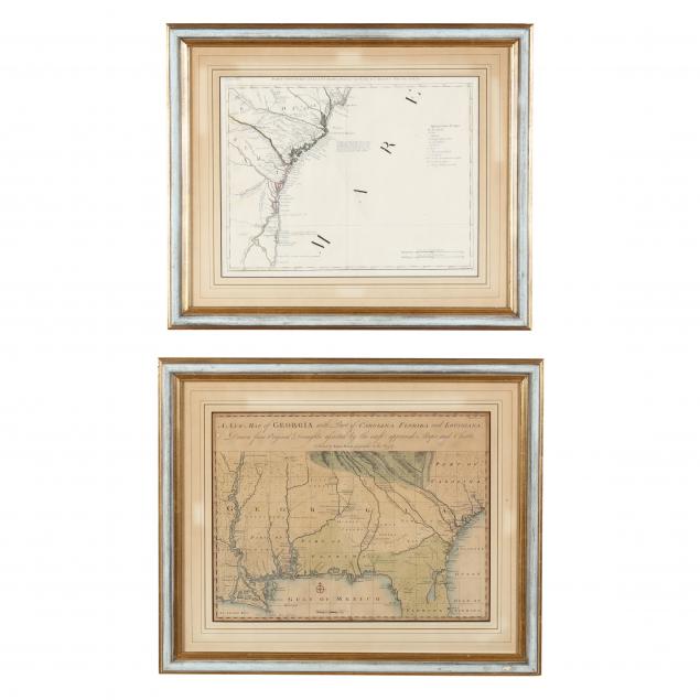
Presented in matching custom mid-century wooden frames, to include: Emanuel Bowen,
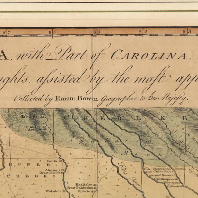
A New Map of Georgia, with Part of Carolina, Florida and Louisiana. Drawn from Original Draughts adjusted by the most approved Maps and Charts., (London, 1748), copperplate engraving with hand coloring; behind mat in custom frame. Sheet size: 15-3/4 x 19-1/2 in.; Frame dimensions: 21-3/4 x 26 in.(two small white stains in upper margin; even beige toning; the map mounted with masking tape to the edges, which is now loose and dry; overall very good condition) ...plus: Antonio Zatta,
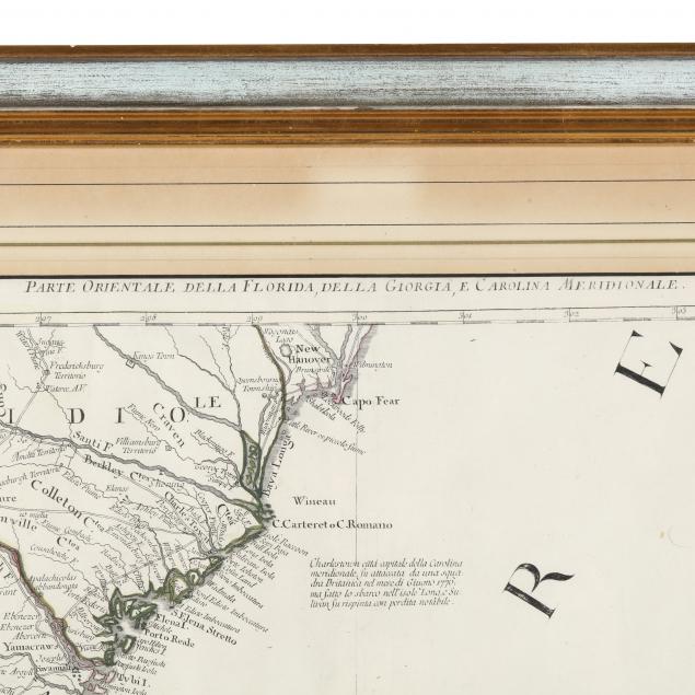
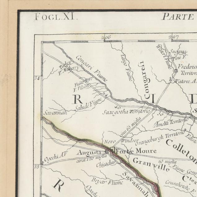
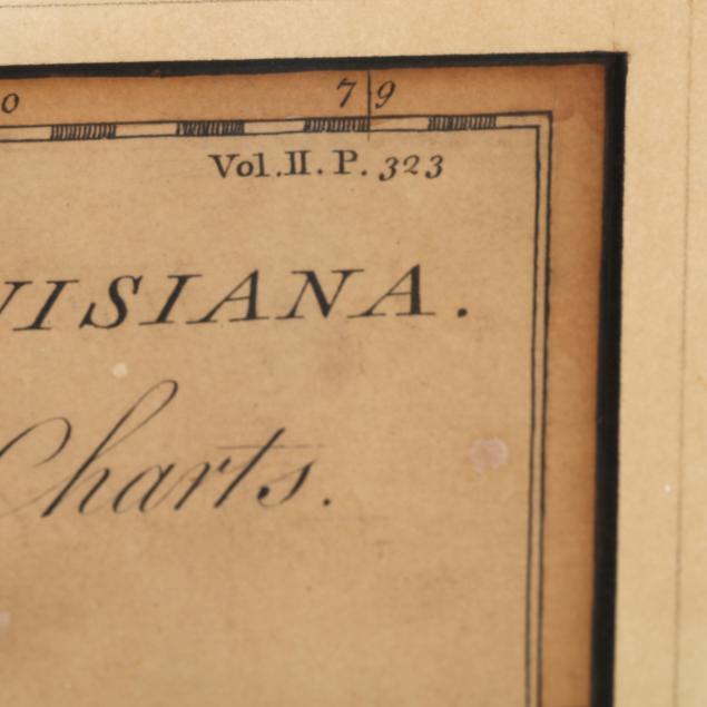
Parte Orienmtale Della Florida, Della Georgia, E Carolina (late 18th century), copperplate engraving with outline color, the map depicts the southeastern coast of the United States from the Cape Fear River in North Carolina to St. Augustine, Florida; sheet size: 14-1/2 x 19-3/4 in.; frame dimensions 20-3/4 x 24-3/4 in. (clean and lightly toned).
Private Hilton Head Island Collection Both maps are not laid down.