Lot 6148
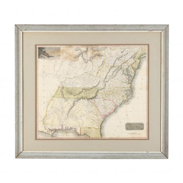
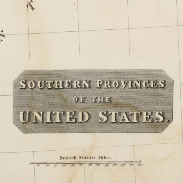
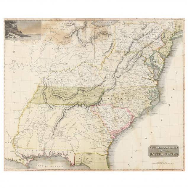
Thomson's Early 19th-Century Map of the Southern United States
Explore more items like this one.
Visit our Historical Department Historical
Lot Details & Additional Photographs
Image 19 1/4 x 22 7/8 in.; frame dimensions 27 3/4 x 31 5/8 in.
From the Collection of Professor Roberto Severino, Washington, D.C.
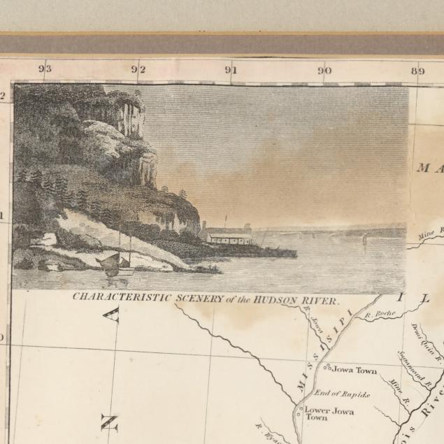
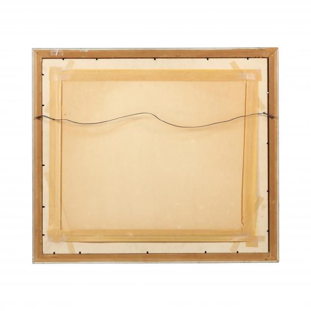
Center vertical fold, with one area of small vertical and horizontal tears at the crease and (3) additional 1/2-in. tears, one with associated tiny loss; areas of light to heavy damp staining, scattered faint creases and foxing; heavily taped to matte; staining and chips to frame.