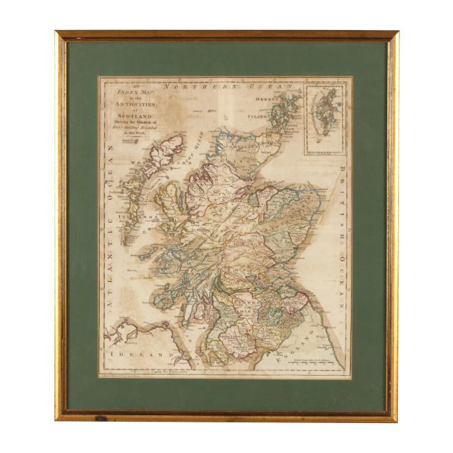
Lot 4017
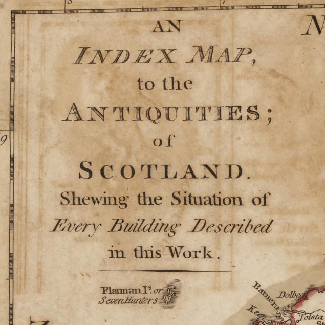
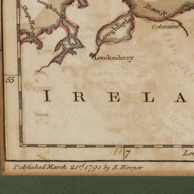
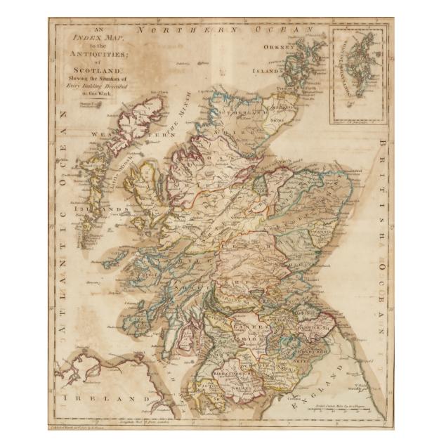
18th-Century Map of Scotland
Explore more items like this one.
Visit our Historical Department Historical
Lot Details & Additional Photographs
DOA 23 1/8 x 20 1/4 in.; image size 17 3/8 x 14 3/4 in.
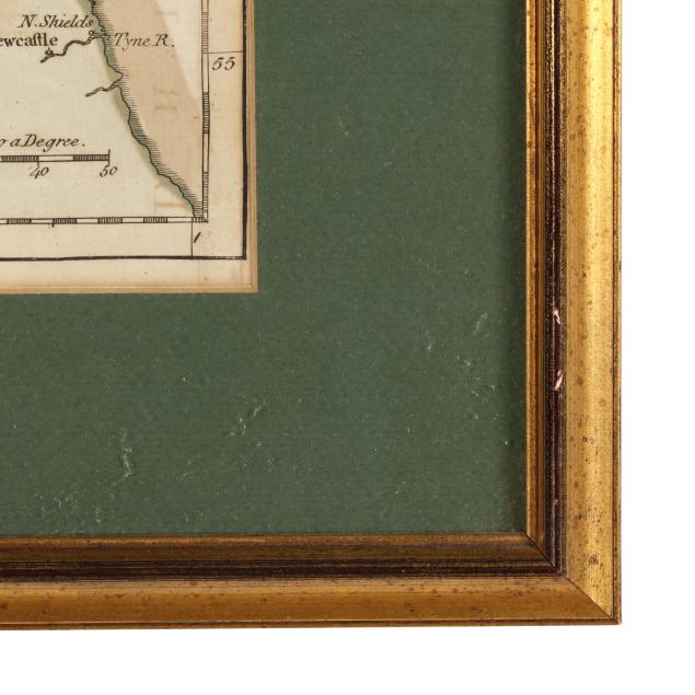
With folds, as issued; map with typical offsetting, overall light toning, areas of browning, and minimal spotting (concentrated at central fold); not examined outside of frame; light wear to frame.