Lot 4028
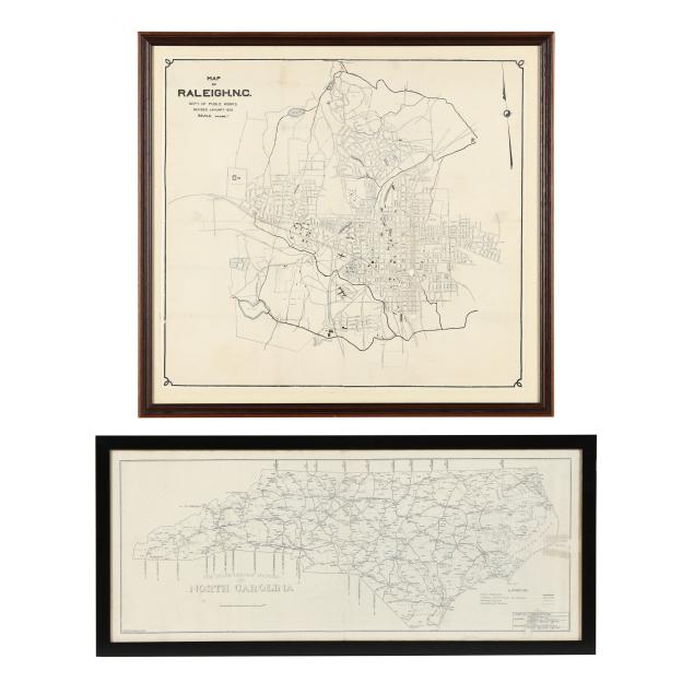
Two North Carolina Maps from the 1920s
Explore more items like this one.
Visit our Historical Department Historical
Lot Details & Additional Photographs
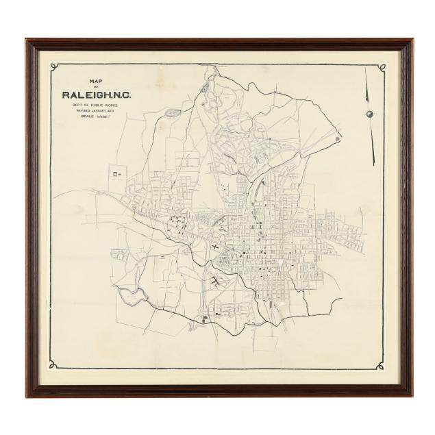
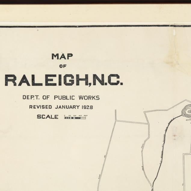
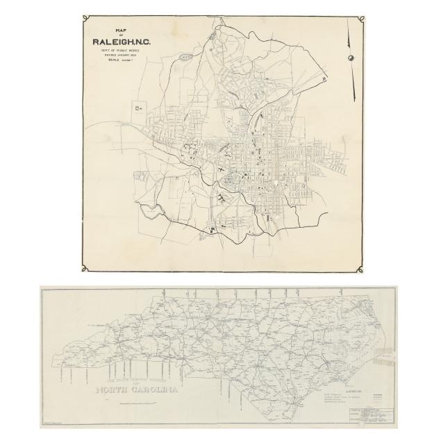
Dept. of Public Works. MAP OF RALEIGH, N.C. Revised January 1928. Published by Chamber of Commerce. Presented behind glass in a wooden frame. Includes important points of interest in the city including various parks, NC State College, and Meredith College. (Laid down to backing for preservation; numerous folds, as issued; a few spots of foxing, mostly on mat; some tears with taped repairs, and several chips and small losses; areas of grime, toning, and subtle indentations; slightly off-center alignment at central vertical fold; not examined outside of frame.)
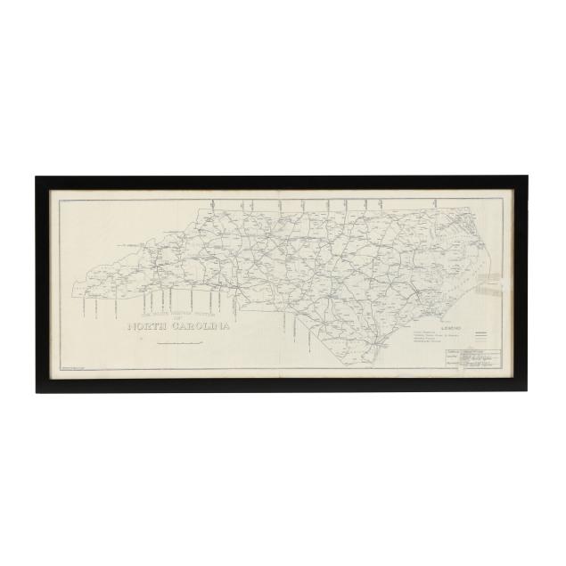
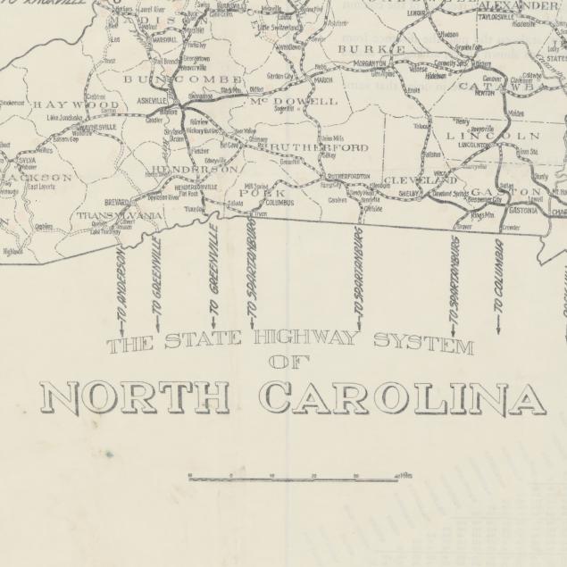
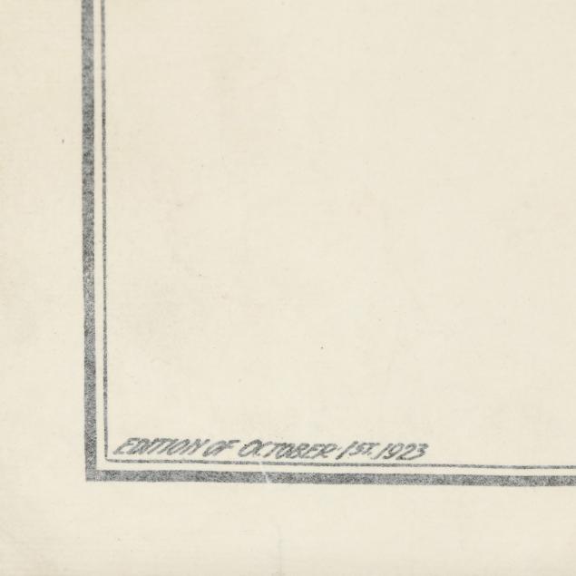
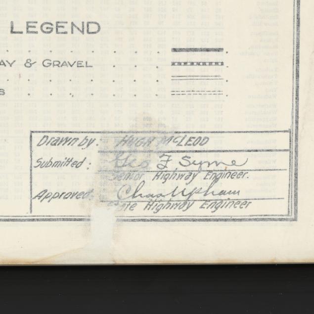
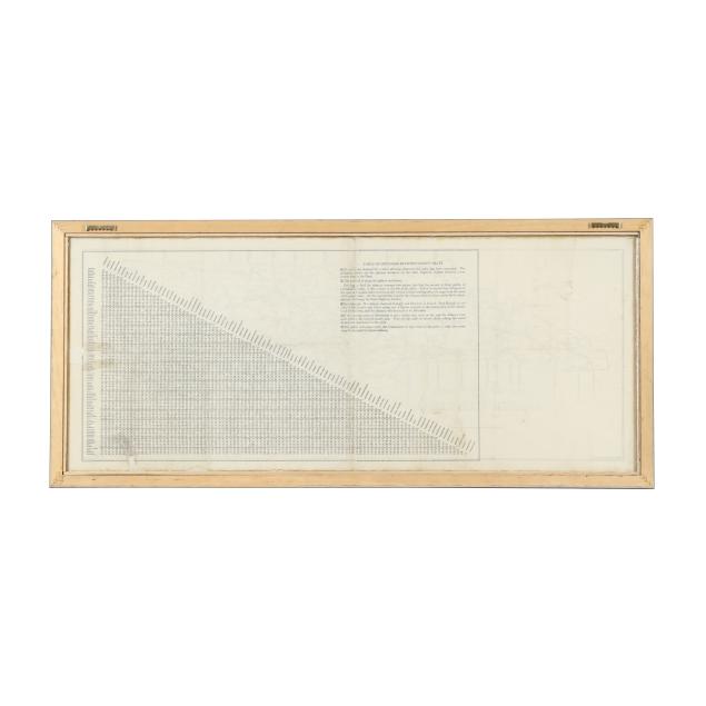
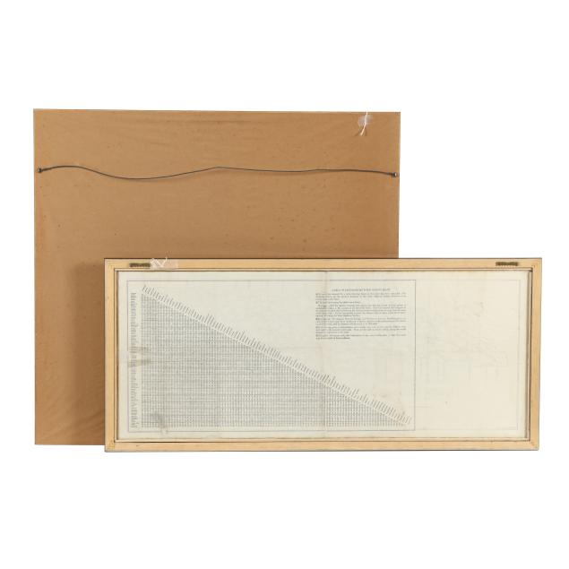
Hugh McLeod. THE STATE HIGHWAY SYSTEM OF NORTH CAROLINA. Raleigh: North Carolina State Highway Commission, October 1st, 1923. Printed signatures of McLeod and highway engineers in lower right corner. With a Table of Distances Between County Seats on verso. Framed behind glass so that both sides are visible; presented in a wooden frame. (With toning along edges; a horizontal fold and several vertical folds, likely all as issued; small red ink stains on verso; central vertical fold with separation, a chip, and numerous small tears, all with taped repair; areas of faint damp staining, subtle creases, and waviness; a few areas darkened slightly obscuring text; repaired chips, tears, and losses, mostly at edges; light wear to frame including some chips; not examined out of frame.)
Map of Raleigh DOA 27 5/8 in. x 29 3/4 in.; image size 23 1/2 x 25 1/2 in. Highway map DOA 15 7/8 x 35 5/8 in.; image size 12 1/2 x 32 in.