Lot 3048
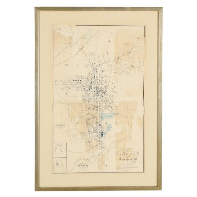
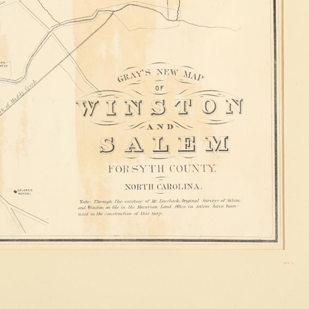
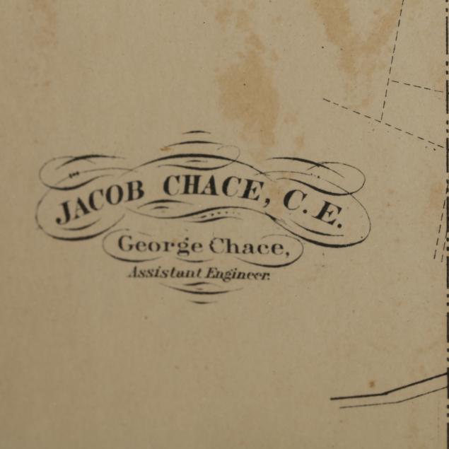
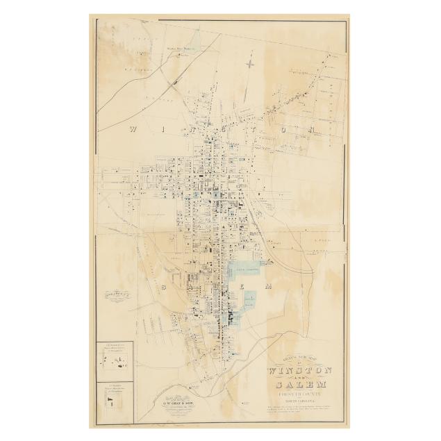
A Late-19th-Century Map of Winston-Salem, NC
Explore more items like this one.
Visit our Historical Department Historical
Lot Details & Additional Photographs
Image size 25 7/8 x 16 in.; Frame 32 1/4 x 22 1/4 in.
A detailed map of the towns of Winston and Salem before the two towns merged in 1913.
With large patches of toning, and a few creases and small damp stains; several small tears, some seemingly repaired, with most in the upper left corner; central fold with separation, (2) associated tears, the largest 1 3/8 in. and with small chip, and slight misalignment; not examined out of frame; light wear to painted wooden frame.