Lot 1100
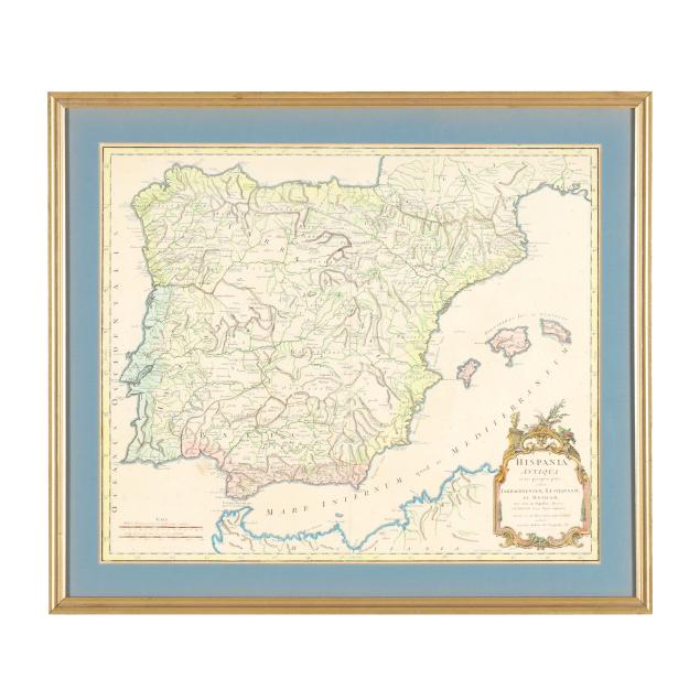
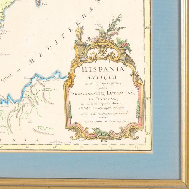
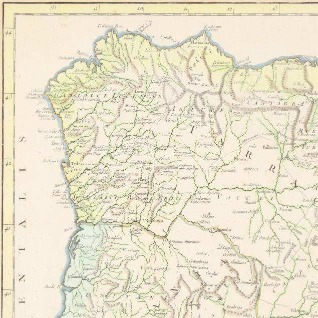
18th-Century Map of the Ancient Iberian Peninsula
Explore more items like this one.
Visit our Historical Department Historical
Lot Details & Additional Photographs
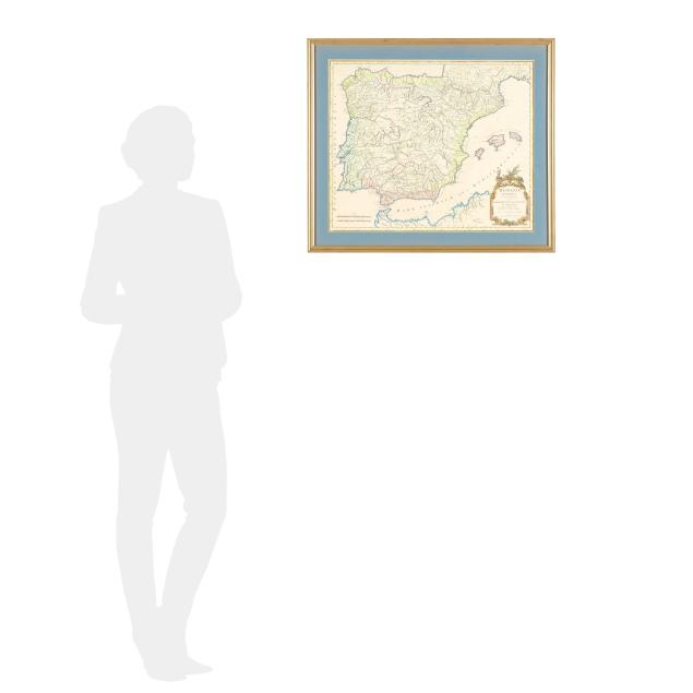
Image size 18 7/8 x 22 1/2 in.; Frame dimensions 23 7/8 x 27 3/8 in.
Private Art Collection, Denver, Colorado and St. Louis, Missouri
Originally a folding map in an atlas, with a resulting central vertical fold; with one additional vertical fold, very light creasing, scattered foxing, a closed tear at the margin, one small area of staining, and some rubbing to title information; subtle sunning to mat and minor wear to frame; not examined outside the frame.